image_pdfimage_print

Kapesovo- Vradeto’s Skala

(STONE steps) – Vradeto Starting point: Kapesovo. End: Vradeto. Trail distance: 3 km. Duration: 1 hour and 45 minutes. Altitude scale: 1.100 m. – 1.340 m. Route type: path. Signage: medium. Degree of difficulty: low. Points of interest: the Stone steps “Skala Vradetou”, the Mezaria bridges, the Mezaria gorge, the Paschaleios School of Kapesovo.   […]

Read More

Kipi-Koukouli

Starting point: Kipi. End: Koukouli. Trail distance: 2,5 km. Duration: 45 minutes. Altitude scale: 800 m. – 900 m. Route type: path. Signage: good. Degree of difficulty: low. Points of interest: Lazaridis or Kontodimos bridge (1753) and the ruins of Lazaridis mill, the Botanical museum of Koukouli, the churches and the mansions of both villages, […]

Read More

Dilofo – Kipi

Starting point: Dilofo. End: Kipi. Trail distance: 4 km. Duration: 1 hour and 30 minutes. Altitude scale: 880 m. – 800 m. Route type: path. Signage: rough. Degree of difficulty: low. Points of interest: the Captain Arkouda’s bridge, the three arched Plakida’s or Kalogeriko bridge (1814), Lazaridis or Kontodimos bridge (1753), the churches and mansions […]

Read More

Vitsa – Skala (Stone steps) of Vitsa – Noutsos/ Kokkoris Bridge

Starting point: Vitsa. End: Noutsos/Kokkoris Bridge. Trail distance: 3 km. Duration: 1 hour and 30 minutes. Altitude scale: 960 m. – 700 m. Route type: path. Signage: medium. Degree of difficulty: low. Points of interest: churches and mansions in Vitsa, the stone steps of Vitsa, the bridges of Missios (1748) and Noutsos / Kokkoris  (1750), […]

Read More

Dilofo – Vitsa

Starting point: Dilofo. End: Vitsa. Trail distance: 3 km. Duration: 1 hour and 30 minutes. Altitude scale: 880 m. – 960 m. Route type: path. Signage: good. Degree of difficulty: low. Points of interest: the Vitsa and Dilofo villages, the stone steps of Vitsa, the traditional churches. 0 CommentsΤα σχόλια είναι κλειστά!

Read More

Dikorfo – Kipi

Starting point: Dikorfo. End: Kipi. Trail distance: 12 km. Duration: 4 hours. Altitude scale: 1.000 m. – 800 m. Route type: path, paved road, forest road. Signage: rough. Degree of difficulty: medium. Points of interest: the stone bridges and the traditional churches, the villages of Dikorfo and Kipi. 0 CommentsΤα σχόλια είναι κλειστά!

Read More

Aspraggeli – Holy Monastery of Aspraggeli

Starting point: Aspraggeli. End: Holy Monastery of Aspraggeli. Trail distance: 3 km. Duration: 1 hour. Altitude scale: 980 m. – 1.050 m. – 850 m. Route type: path. Signage: rough. Degree of difficulty: low. Points of interest: Aspraggeli Information Centre of Northern Pindos National Park, the Monastery dedicated to Virgin’s Birth in Aspraggeli. 0 CommentsΤα […]

Read More

Hunters of the last Ice Age in the Voidomatis valley

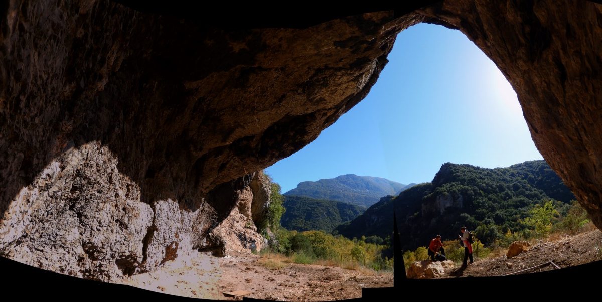
During the peak of the last global glacial extent (c. 22,000 – 18,000 years ago), ice-sheets capped the W. Pindοs high altitude (> 2500m) summits and karst plateaus enhancing erosion of the limestone and flysch bedrock and discharging massive water volumes into the Vikos – Voidomatis – Aoos river system. Natural resources were then scarce […]

Read More

The mysterious rocks in Papigo

The rocks forming the geological structure in Epirus are sedimentary and mainly belong to the geotectonic unit of the Ionian zone, while to the north and east occur sediments of the Pindos zone and magmatic rocks. The geological history of the broader region of Pindos begins 200 million years ago about the beginning of the […]

Read More

The “miraculous” flora of the Vikos Gorge

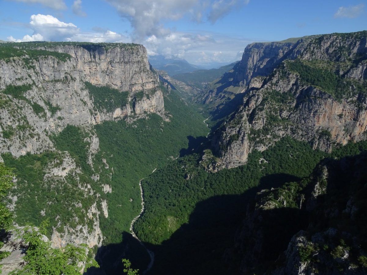
Mt Tymfi is among the most interesting floristic regions of Greece with about 1.700 species of plants. In the Vikos gorge, one of the core areas of the Northern Pindos National Park, one can find many of the rare plants of the area. On the steep slopes of the gorge, horse chestnut (Aesculus hippocastanum) grow, […]

Read More