
 - ΧΑΡΗΤΑΚΗΣ ΠΑΠΑΙΩΑΝΝΟΥ/ HARITAKIS PAPAIOANNOU")

 και Πλόσκος (2377μ) - ΧΑΡΗΤΑΚΗΣ ΠΑΠΑΙΩΑΝΝΟΥ/ HARITAKIS PAPAIOANNOU")


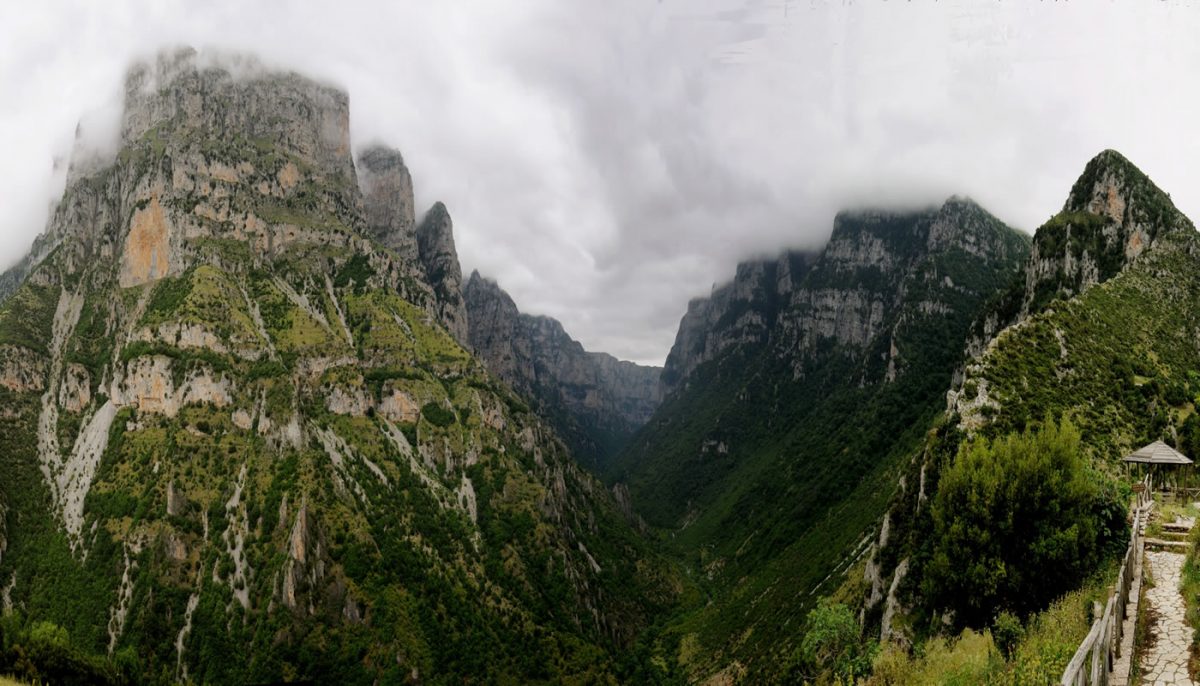
Starting Point: Paleoseli. End: Agia Paraskevi (Kerasovo). Trail distance: 17 km. Duration: 8 hours. Altitude scale: 1.000 m. – 2.200 m. – 1050 m. Route type: path (partly dirt road). Signage: good. Degree of difficulty: high. Points of interest: the Drakolimni of Smolikas, the view to the northern cliffs of Timfi mt, the view to […]
Paleoseli – mountain Refuge- Drakolimni (Dragonlake)of Smolikas-Agia Paraskevi (Kerasovo)