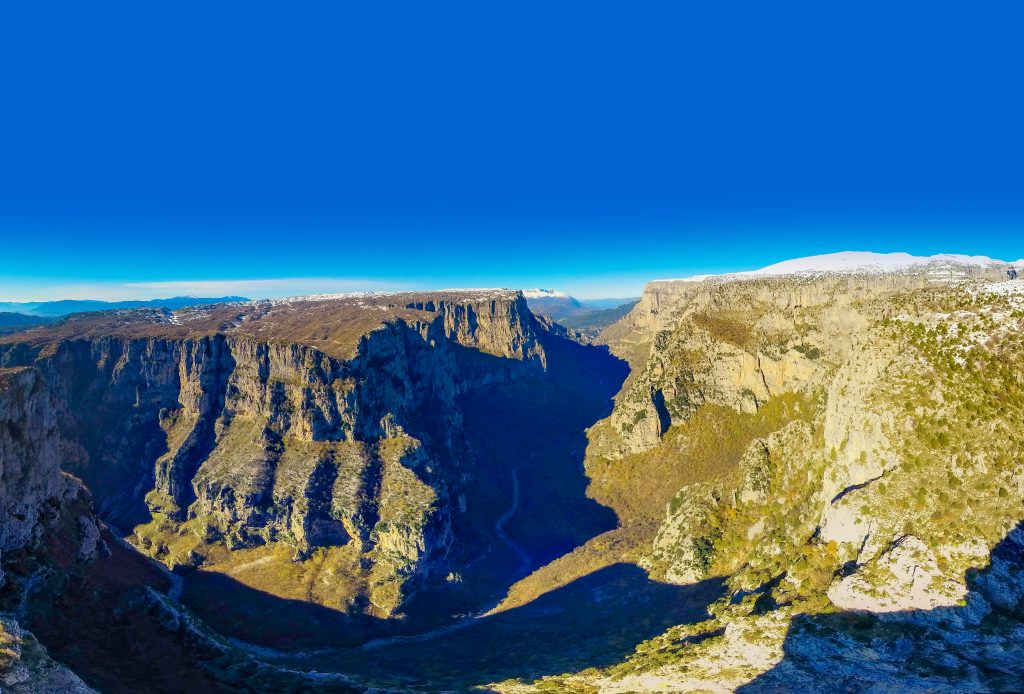
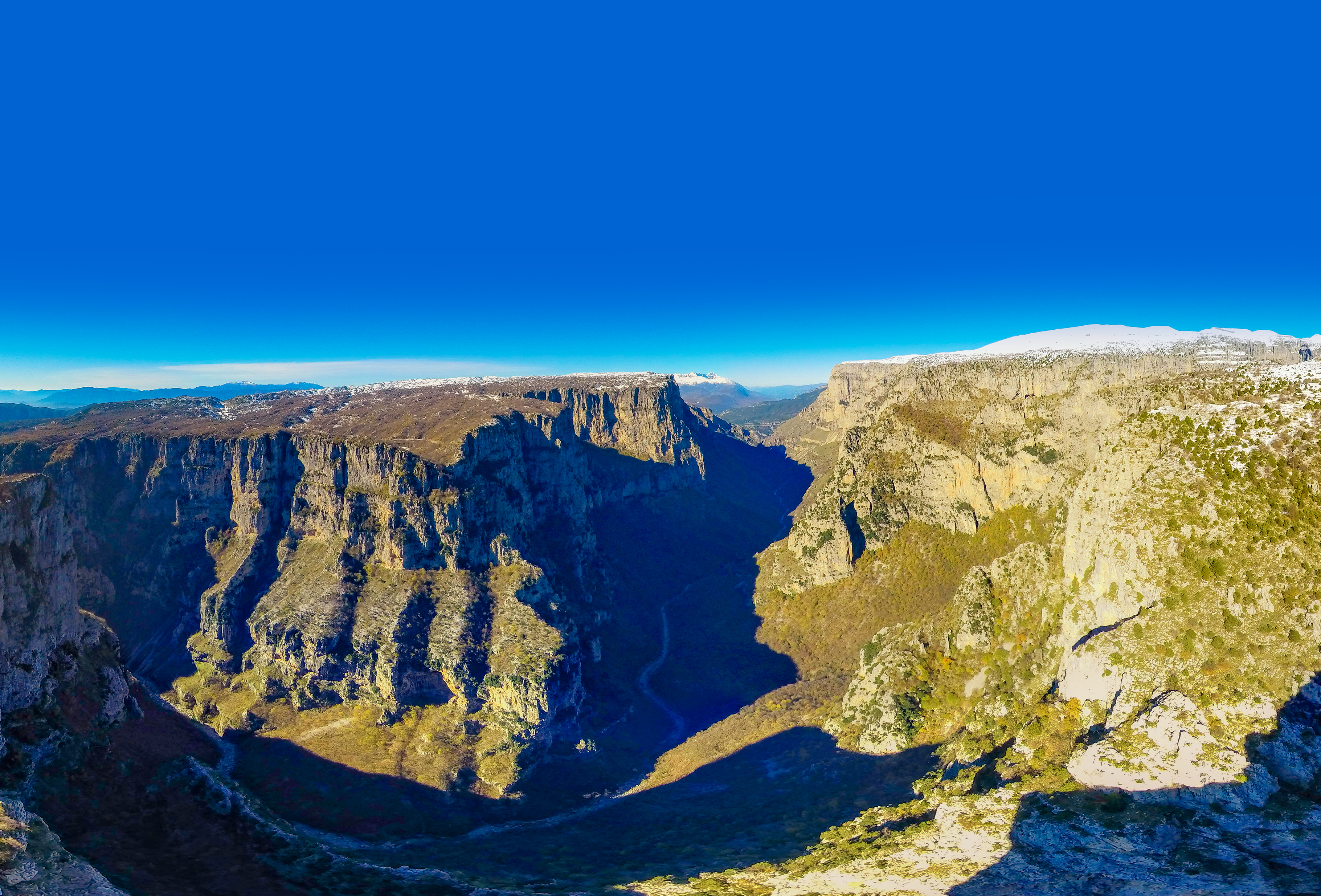
Welcome to “Vikos-Aoos Geopark”

Virtual Tour

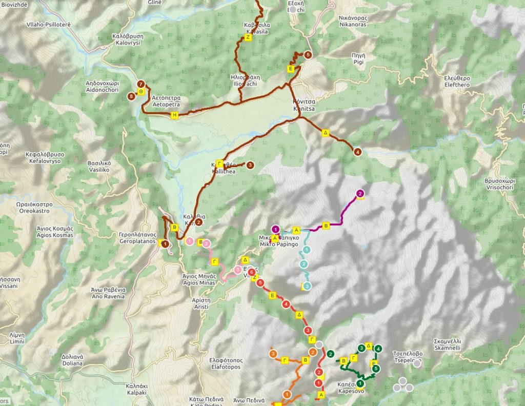
Geotrails Vikos - Aoos
Geotrails Vikos - Aoos
In Geopark designed geotrails through which the visitor can tour and get acquainted with the natural, geological and cultural wealth of the region.
To see geotrails click “View.”
VIEW!News/Annoucements
Apologies, but there are no posts to display.
Inspiration
"Geopark "refers to a region which contains a certain number of geological heritage sites in each category and scale (Geotopes). Ie contains a mosaic of geological features of special geological interest, rarity or beauty, which are representative of the area and the history of geological events and processes, they can also play an important role in research, education, tourism and development. A "Geopark" has defined boundaries and sufficient extent that they can be developed in this local socio-economic development activities. The interest in such a region is not limited to geological features, but in other areas as each Geopark has produced very little and additional characteristics with very important ecological, archaeological, historical and cultural values. ”
Geopark concept
Thematic Routes
Select one of the four thematic routes
Hunters of the last Ice Age in the Voidomatis valley
During the peak of the last global glacial extent (c. 22,000 – 18,000 years ago), ice-sheets capped the W. Pindοs high altitude (> 2500m) summits and karst plateaus enhancing erosion of the limestone and flysch bedrock and discharging massive water volumes into the Vikos – Voidomatis – Aoos river system. Natural resources were then scarce as was human activity.
More…The “miraculous” flora of the Vikos Gorge
Mt Tymfi is among the most interesting floristic regions of Greece with about 1.700 species of plants. In the Vikos gorge, one of the core areas of the Northern Pindos National Park, one can find many of the rare plants of the area.
More…The mysterious rocks in Papigo
The rocks forming the geological structure in Epirus are sedimentary and mainly belong to the geotectonic unit of the Ionian zone, while to the north and east occur sediments of the Pindos zone and magmatic rocks.
More..The hidden thesaurus: Architecture in Konitsa
The art of building in the town of Konitsa of the 18th century as well as in its surrounding area, after having completed a long evolutionary period, becomes a precursor and, simultaneously, one of the most important components of modern Greek technical science
More..

Geotopes
Network information about the past of the earth, age millions of years, such as rocks, fossils, soils, the landforms and landscapes, which are recordings of geo-historical evolution of our planet and indicate the importance of abiotic parameters (geological formations , climate, topography) in the evolution of ecosystems, natural environment and therefore in human social and cultural development.
The geological history of the Epirus is characterized by rich geodynamic activity which results in a variety of natural monuments.
Here, Geotopes are separated into modules. However there is an arbitrary figure in this separation because the geological context in some Geotopes is a result of combining different natural processes.
Geotrails Vikos – Aoos
Below you can see the 8 Geotrails of the Geopark Vikos – Aoos
1st TRAIL Monodendri – Vikos (crossing the gorge)
Footpath lasting about 6-7 hours, medium difficulty. Required clothing and footwear mountaineering. We leave the car in the parking lot of the village.
2nd TRAIL Kipi – Vitsa – Kipi
Total time hiking route 4 hours.
3rd TRAIL Kapesovo – Skala Vradeto – Beloi
Hiking trail 4-5 hours or mechanical or bicycle from the road to Vradeto.
4th TRAIL Monodendri – I. M. Aghia Paraskevi – Stone Forest – Beech
Duration 2-3 hours hiking route.
5th TRAIL Kleidonia Bridge – Bridge High – Voidomatis Springs (Oikonomou)
Total duration: about 4-6 hours.
6th TRAIL Papigo – Drakolimni – Papigo
Total hiking on return: 8-9 hours (altitude difference of 1,000 m.).
7th TRAIL Papigo – Astraka (Provatina precipice – precipice Gap Epic) – Papingo
The route is relatively difficult and requires good physical condition and suitable equipment. Duration: 8-9 hours.
8th TRAIL Konitsa basin Round
The route is by car and short sections on foot. Estimated: about 5 hours.
Read visitor comments & impressions!
“Vikos Gorge – Stunning views really are incredible and you can see it from almost everywhere! Bold and rough path from Holy Friday, wants much attention but you can earn incredible photos! Furthermore is the deepest canyon in the world and has entered in the Guinness Book! “
“Vikos Gorge – The cross is near 5_6 hours. Start Monodentri accused and end at Vikos village. Truly unique route of incredible beauty. Unforgettable experience. Ideal period May to October. Do not miss the Monodentri reach in acute post drive. “
“Voidomatis River – The landscape crossed by the river is gorgeous. One can make trekking along, to send great pictures, do rafting and other activities. It is preferable not to rainy weather because the river swells and walking becomes difficult. Still River is a dream. “
[accordion-themepoints]
Until today in Greece identified as Geoparks four separate areas: the Petrified Forest of Lesvos (2000) and by 2014 the entire island of Lesbos, the Natural Psiloritis Park (2001), the National Park Helmos – Vouraikos (2009) and the surrounding area the National Park Vikos – Aoos (2010).
More


