Starting point: Mikro Papigo.
End: Astraka peak.
Trail distance: 5 km.
Duration: 5 hours and 30 minutes.
Altitude scale: 1.050 m. – 2.436 m.
Route type: path.
Signage: good.
Degree of difficulty: high.
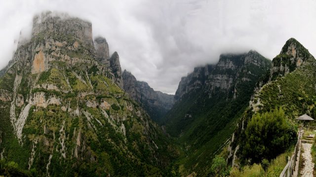
Points of interest: the Northern Pindos National Park Information Center in Papigo, the subalpine landscape and plateaus, the high rocky cliffs, the panoramic view of the area.
Remark: Bypassing the main trail, you can visit in 30 minutes hike the Provatina pothole, one of the most famous potholes in the world (-407m.).


Τα σχόλια είναι κλειστά!