The geological history of the Vikos-Aoos Geopark, as well as the wider region begins around 200 million years ago, at the beginning of the Jurassic period. The current form of the area's morphological relief is the result of complex processes that took place in the geological past. Rock deformation, rapid upward movements, neotectonic activity, and alternating glacial and interglacial periods caused intense erosion of the substrate. Thus, with the action of water that followed paths through discontinuities and faults, carving deeply into the limestone masses, along with the aforementioned processes, the Aoos and Vikos gorges were shaped. These two iconic gorges, as two dominant landforms of the region, have given their name to the Geopark.
Geology
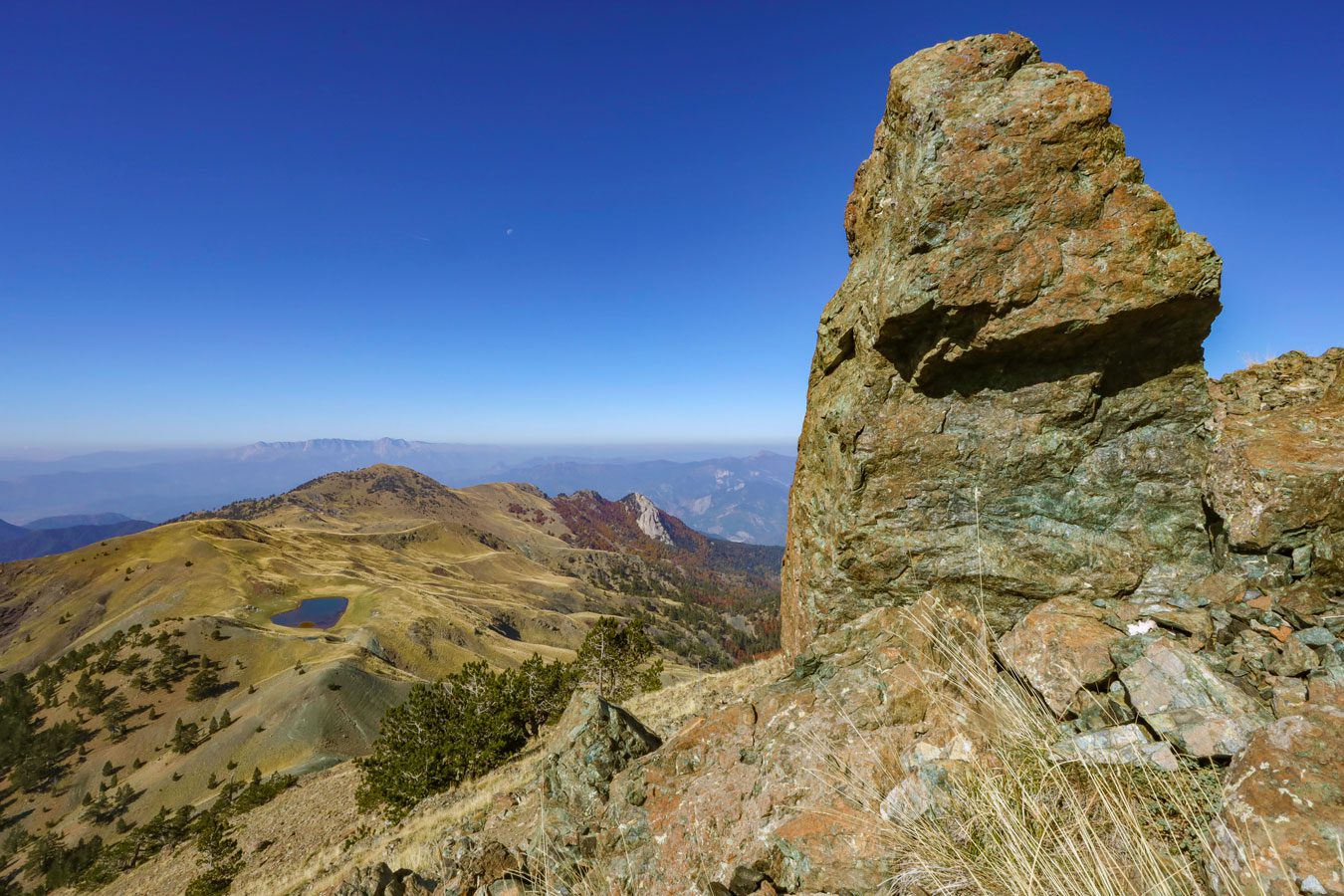
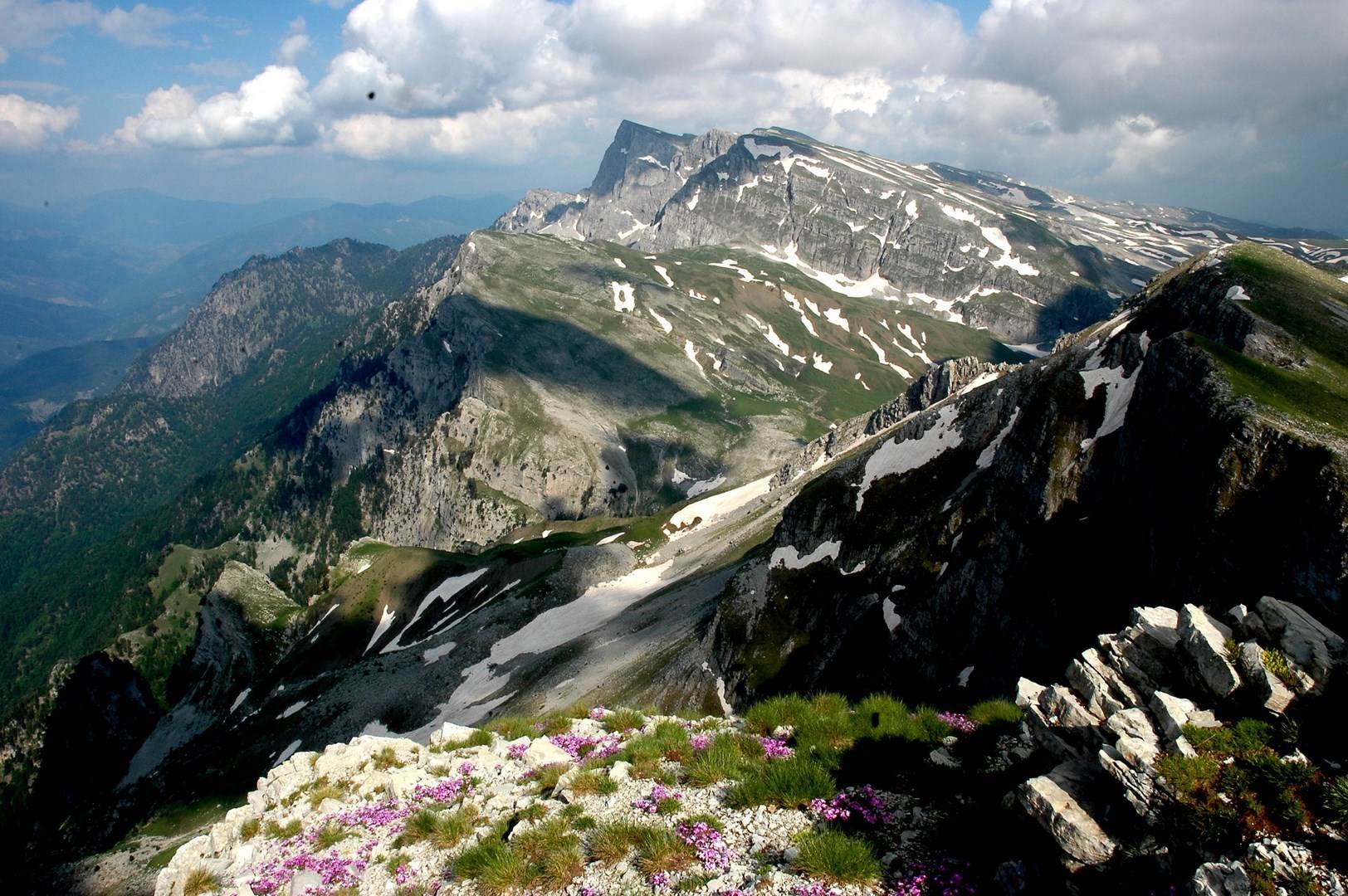

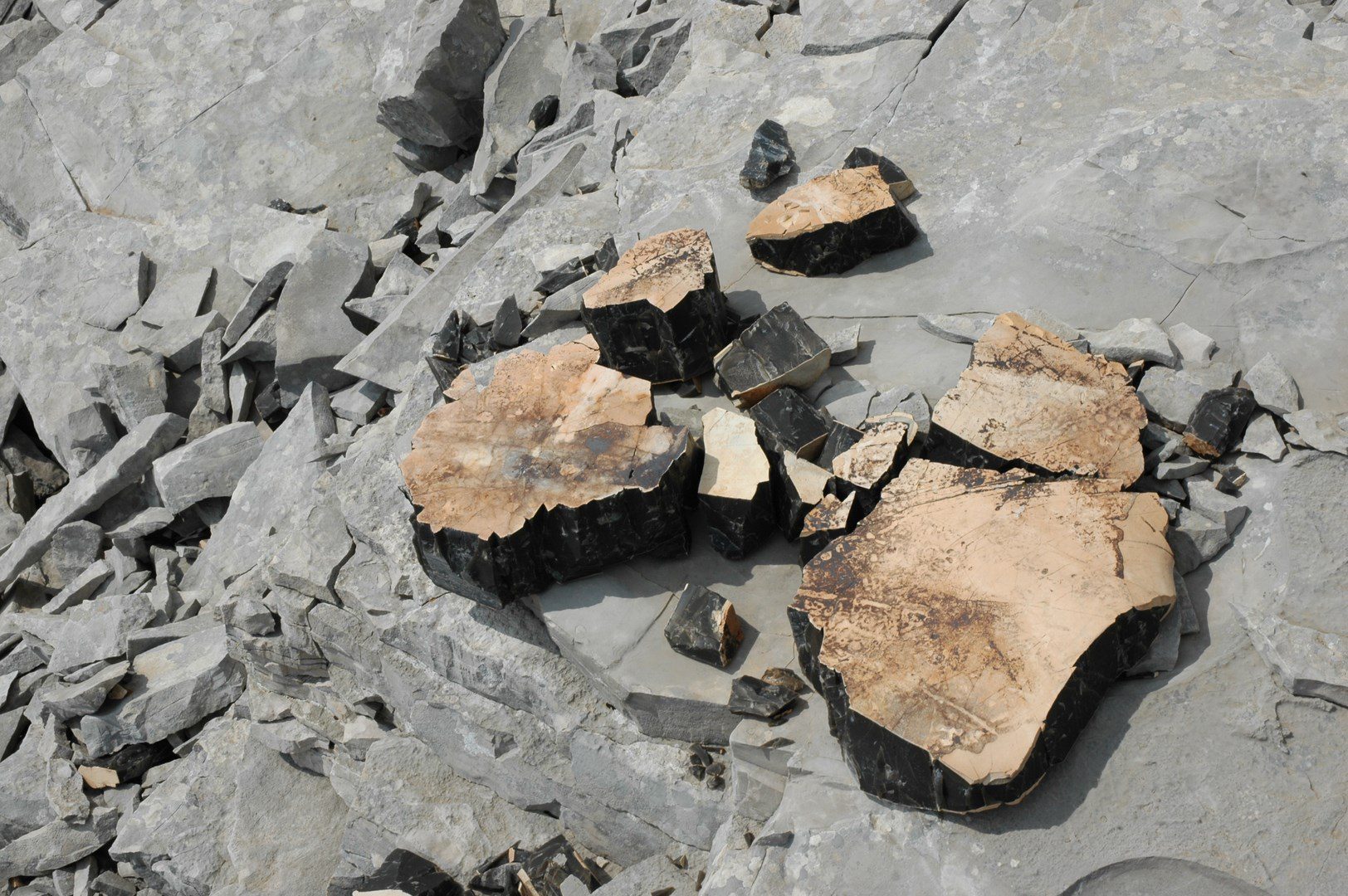
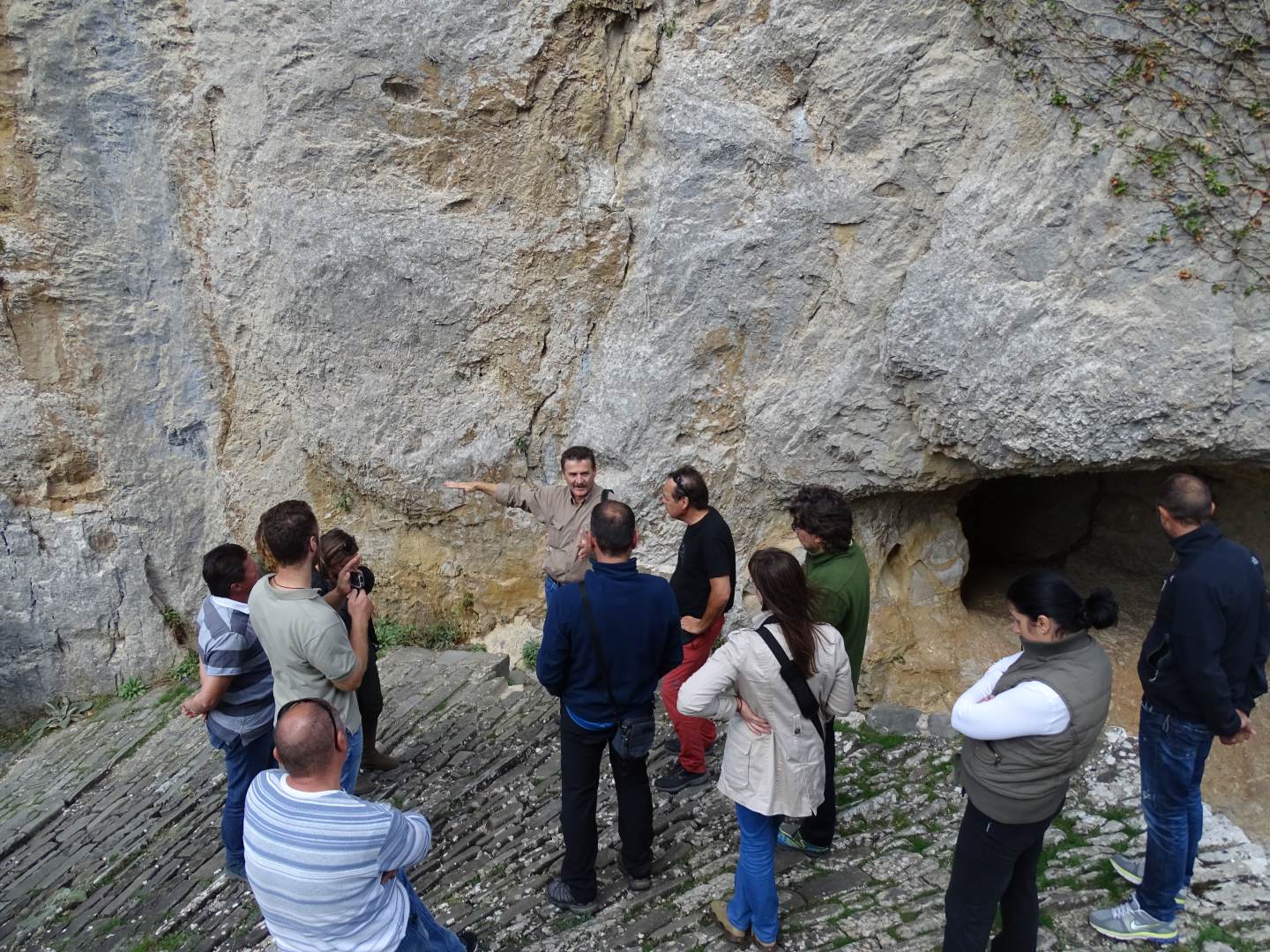
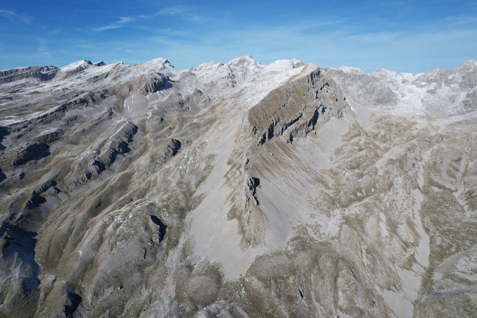

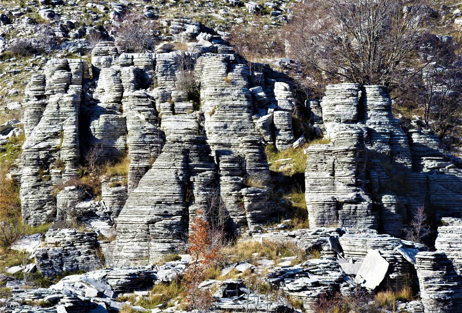
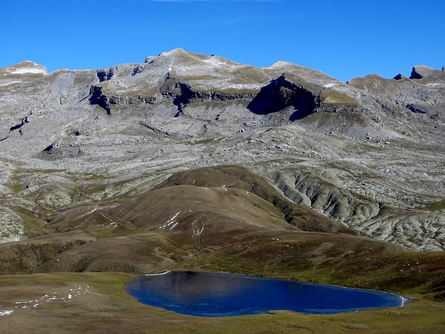


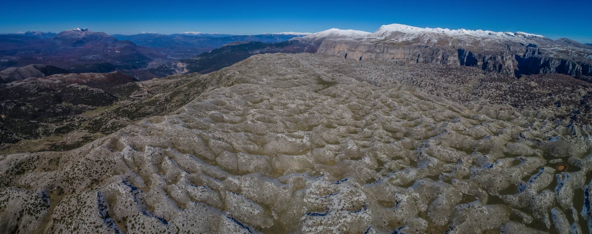
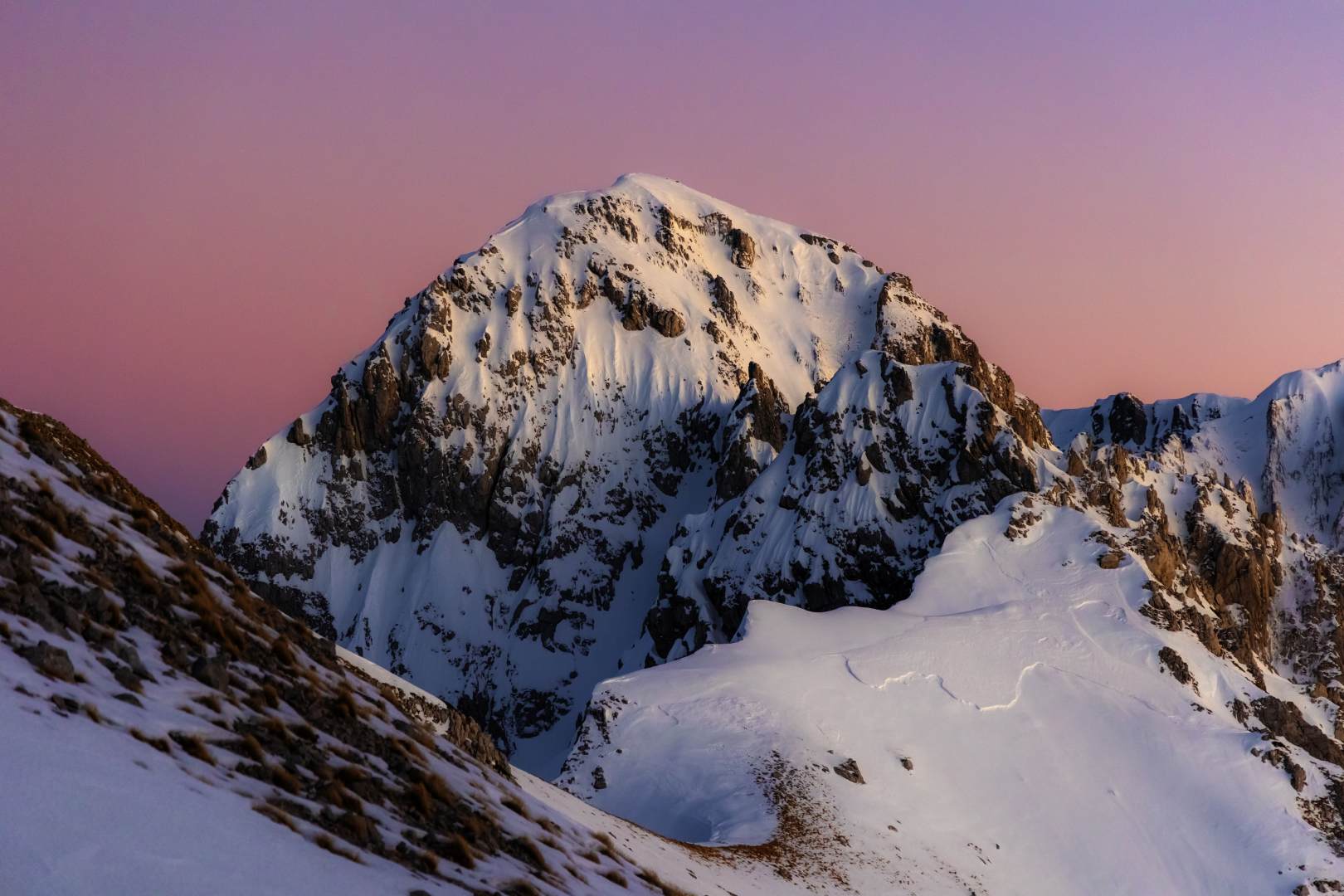
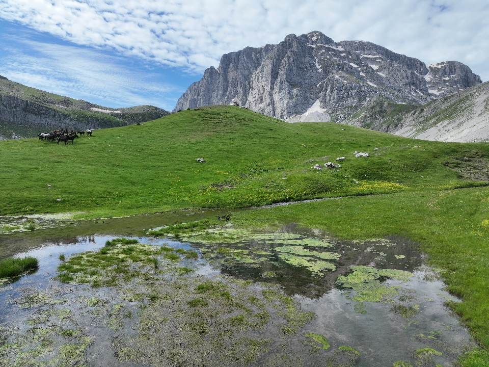
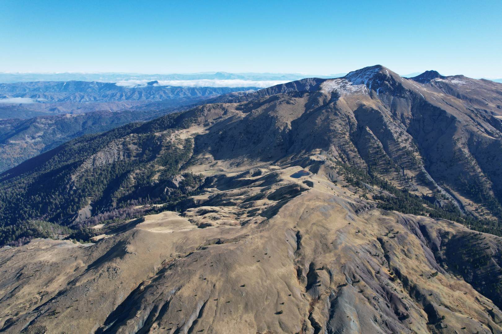
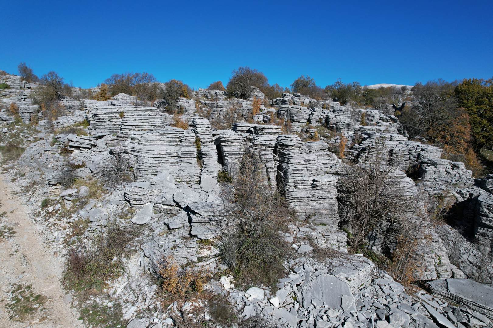
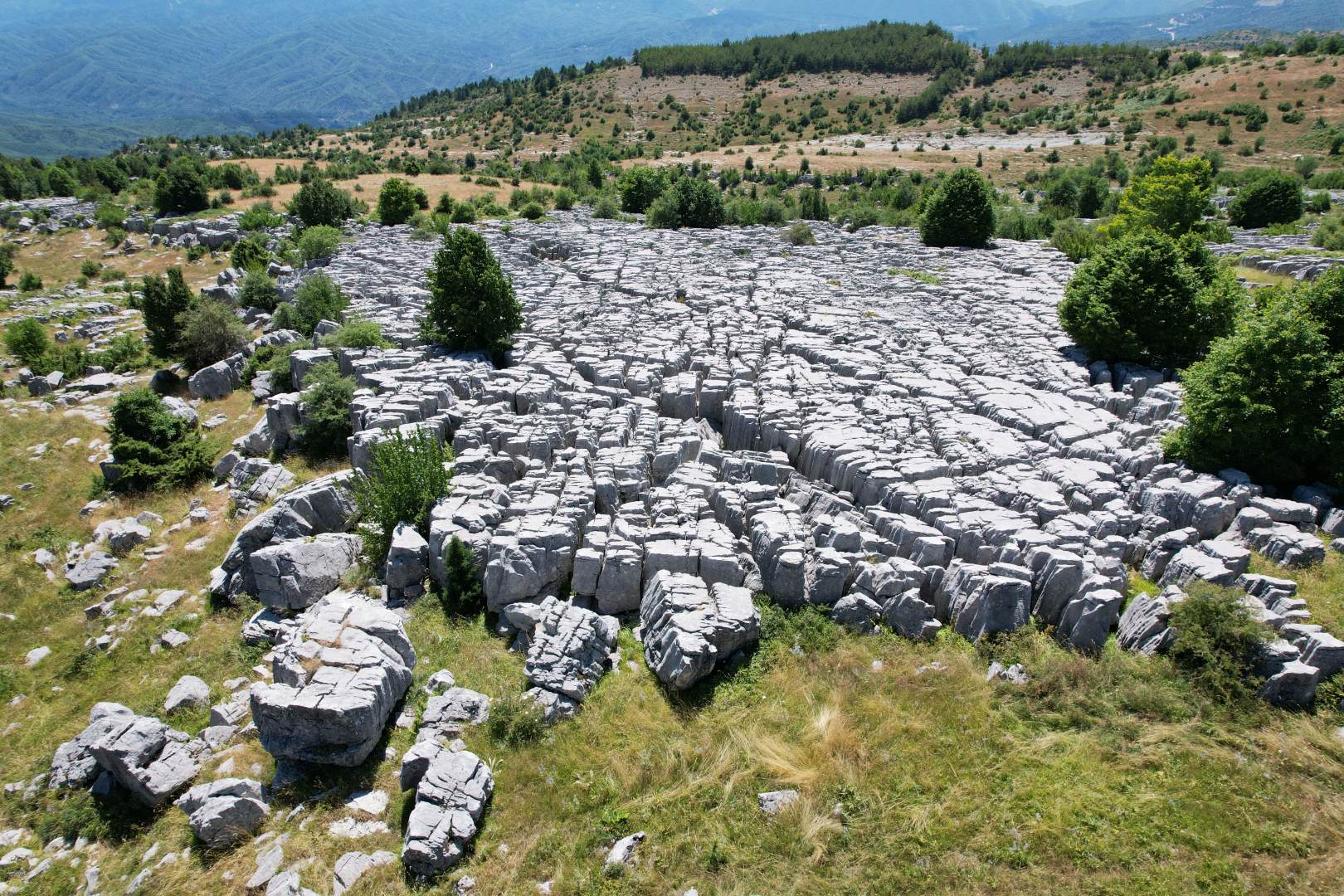
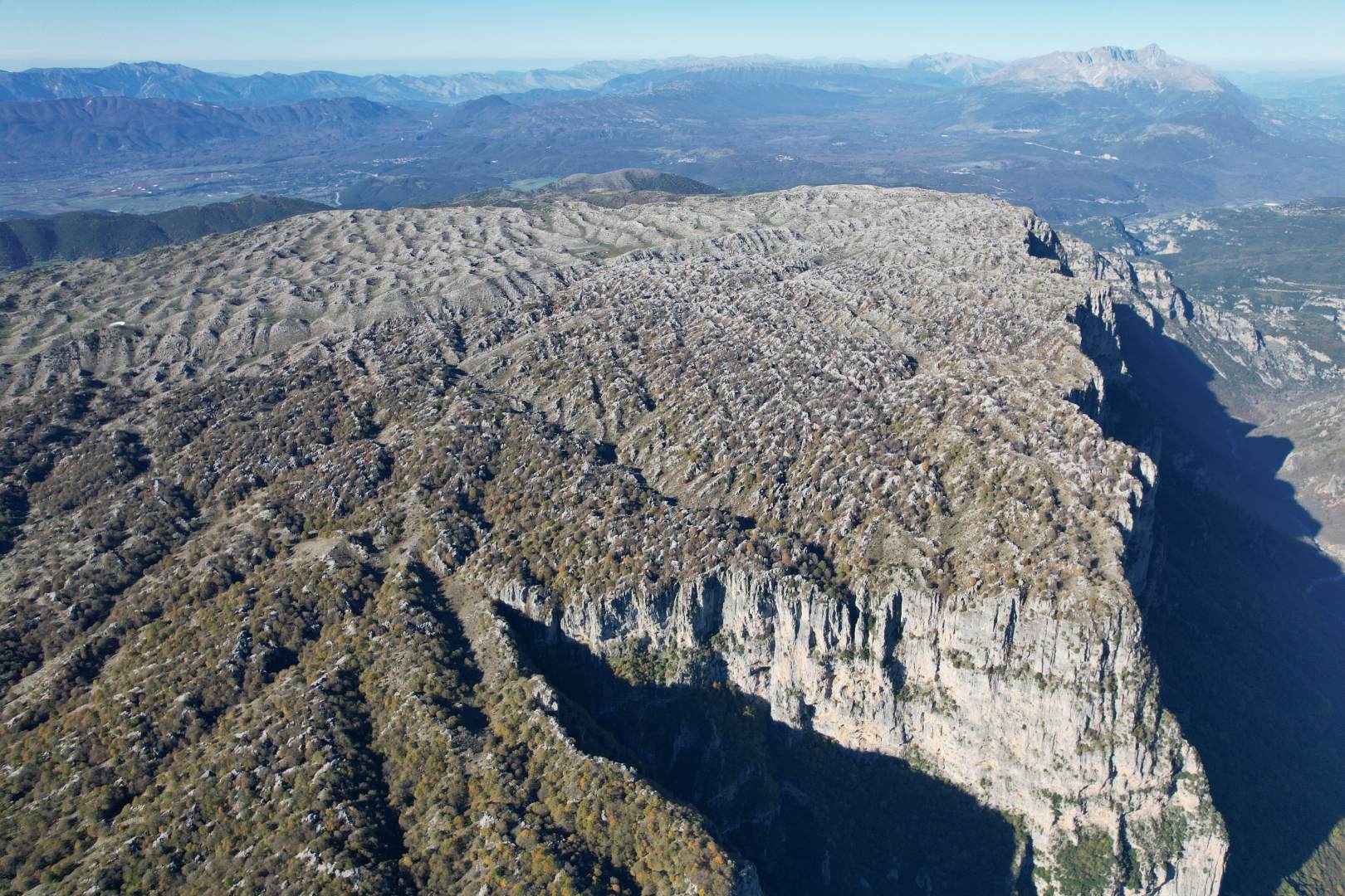
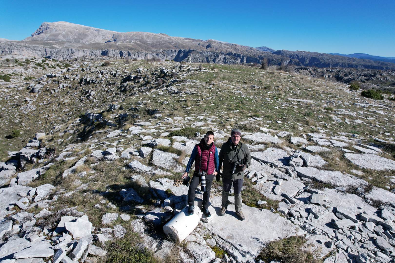
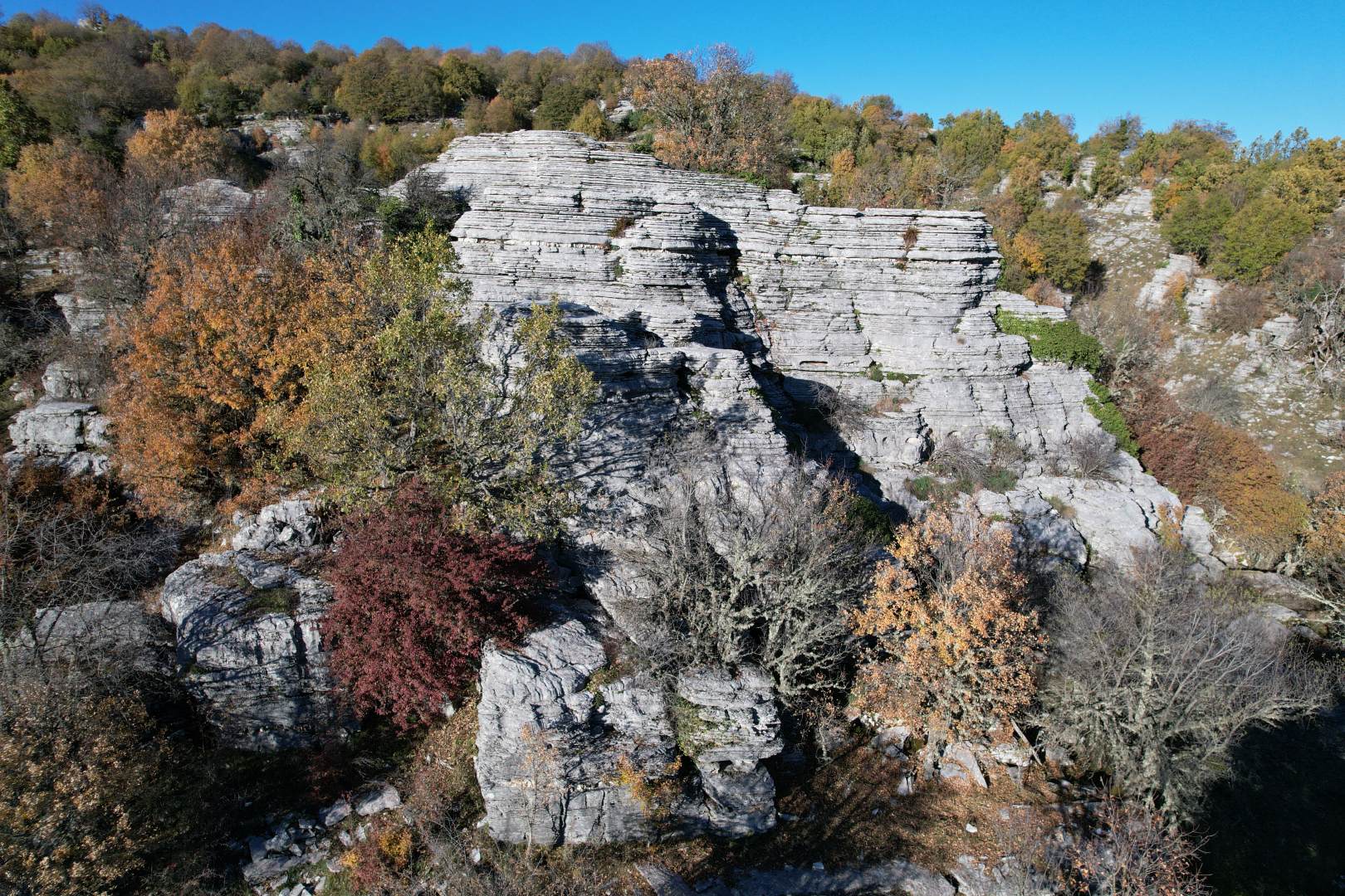
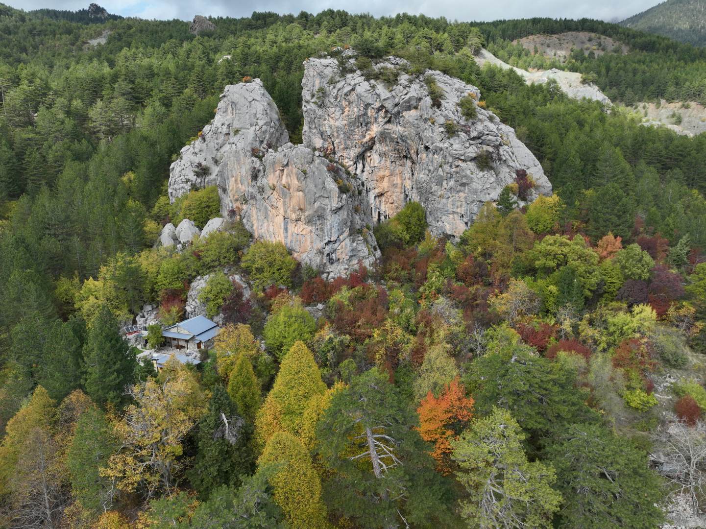

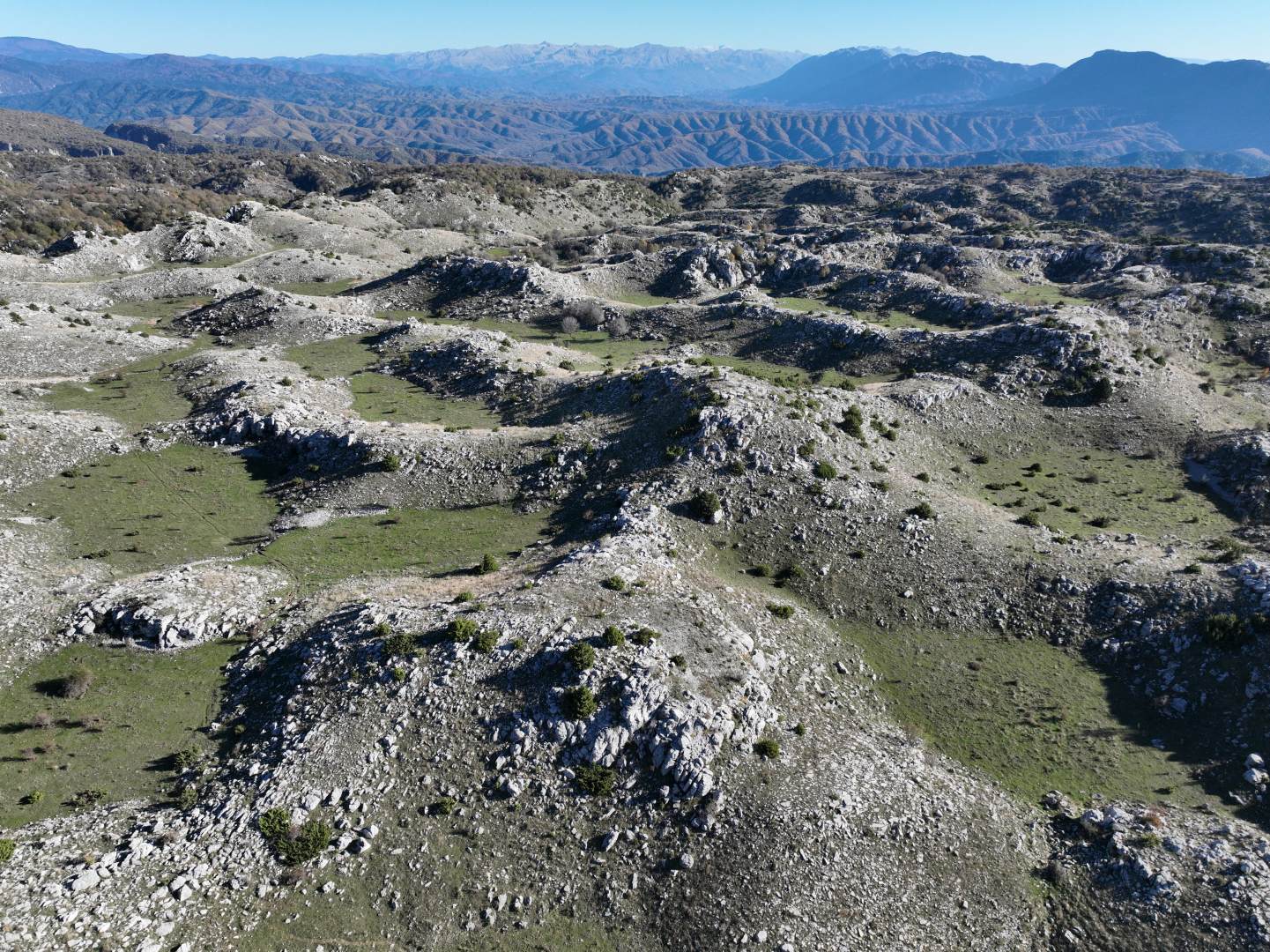
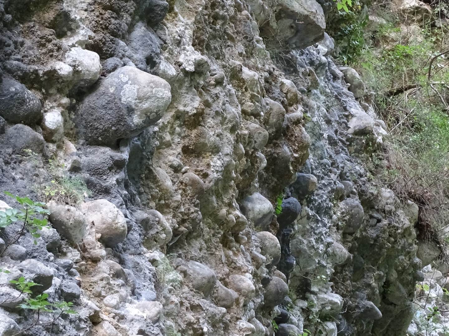
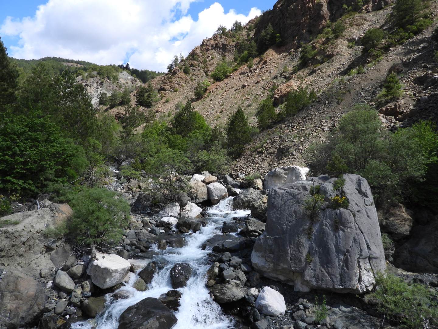

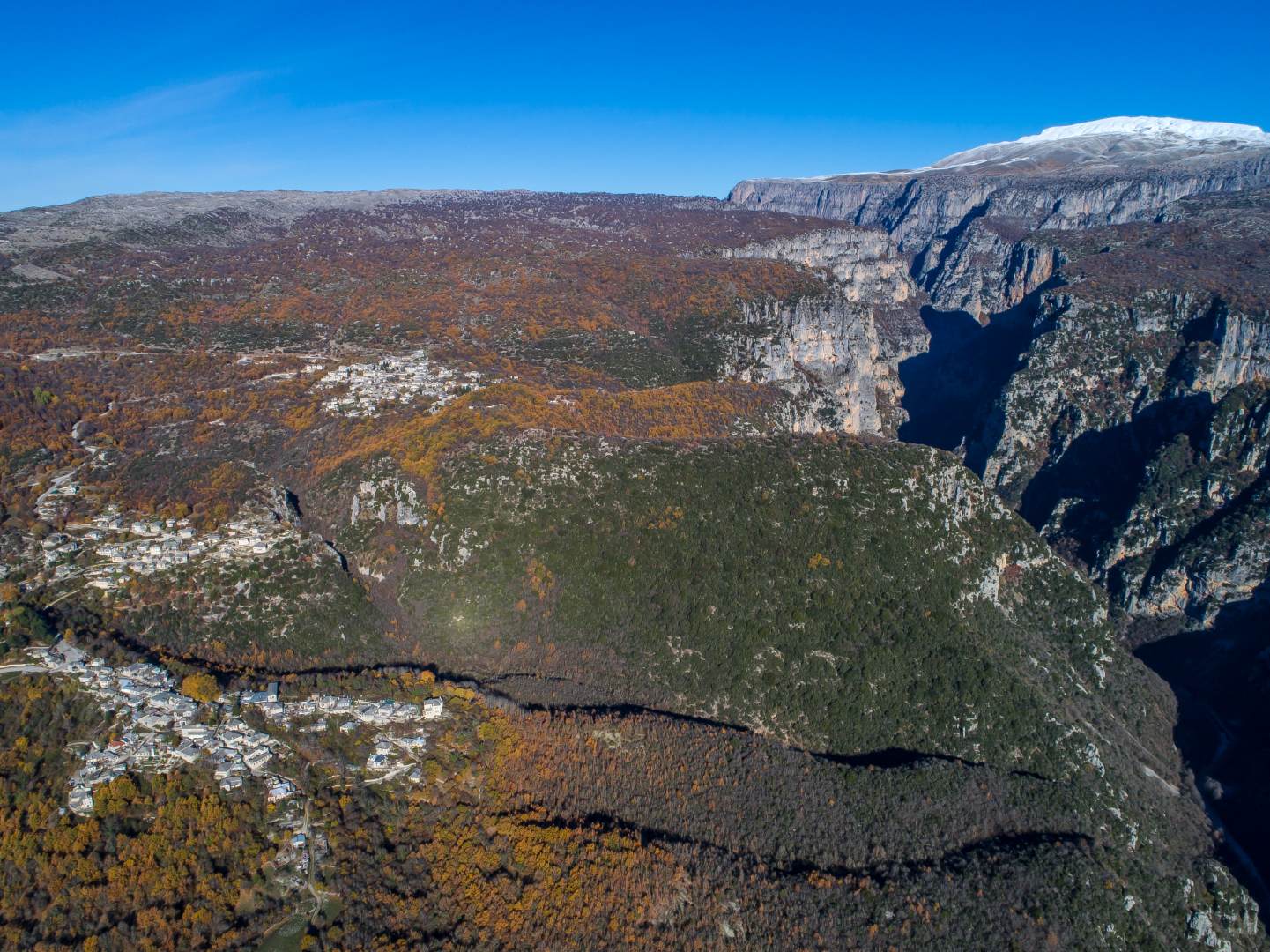

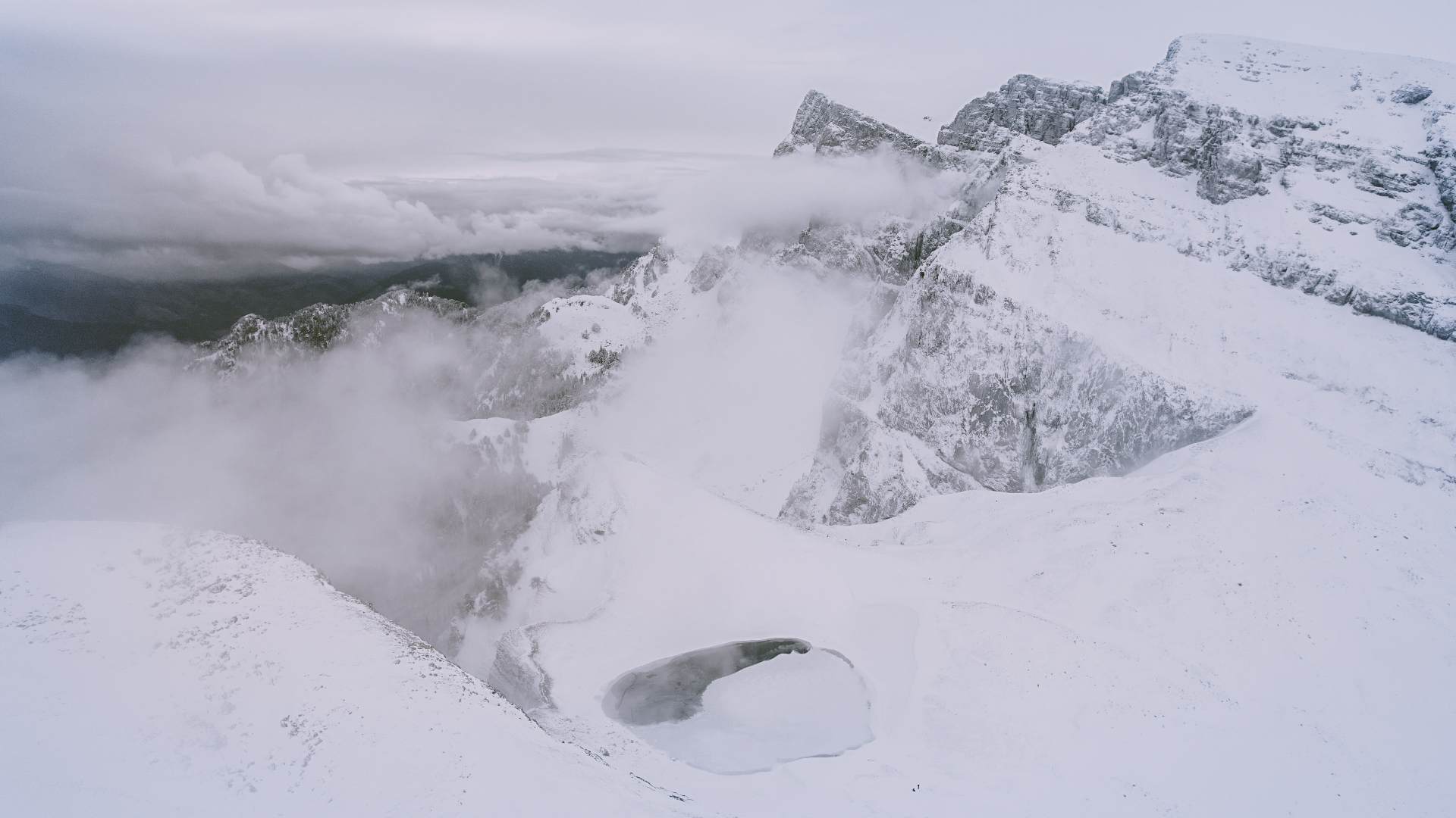
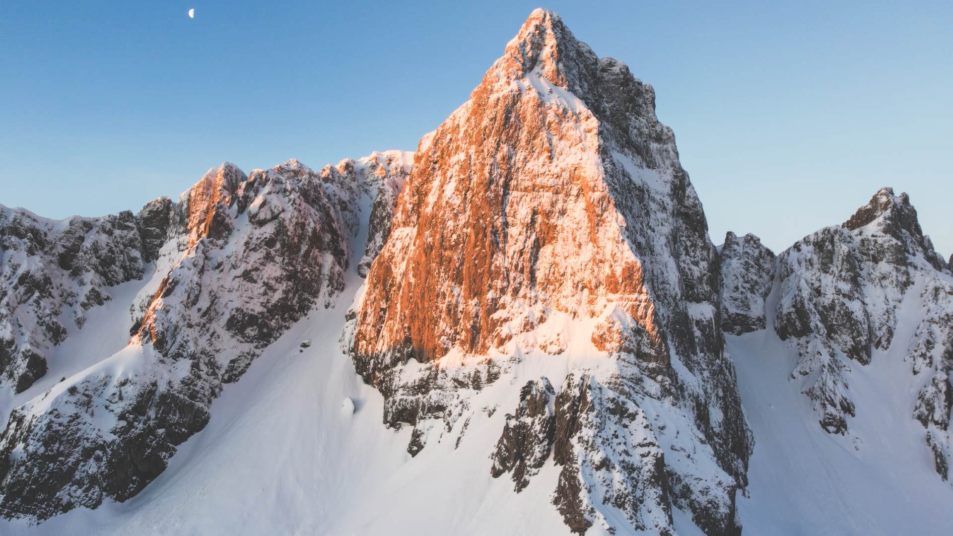
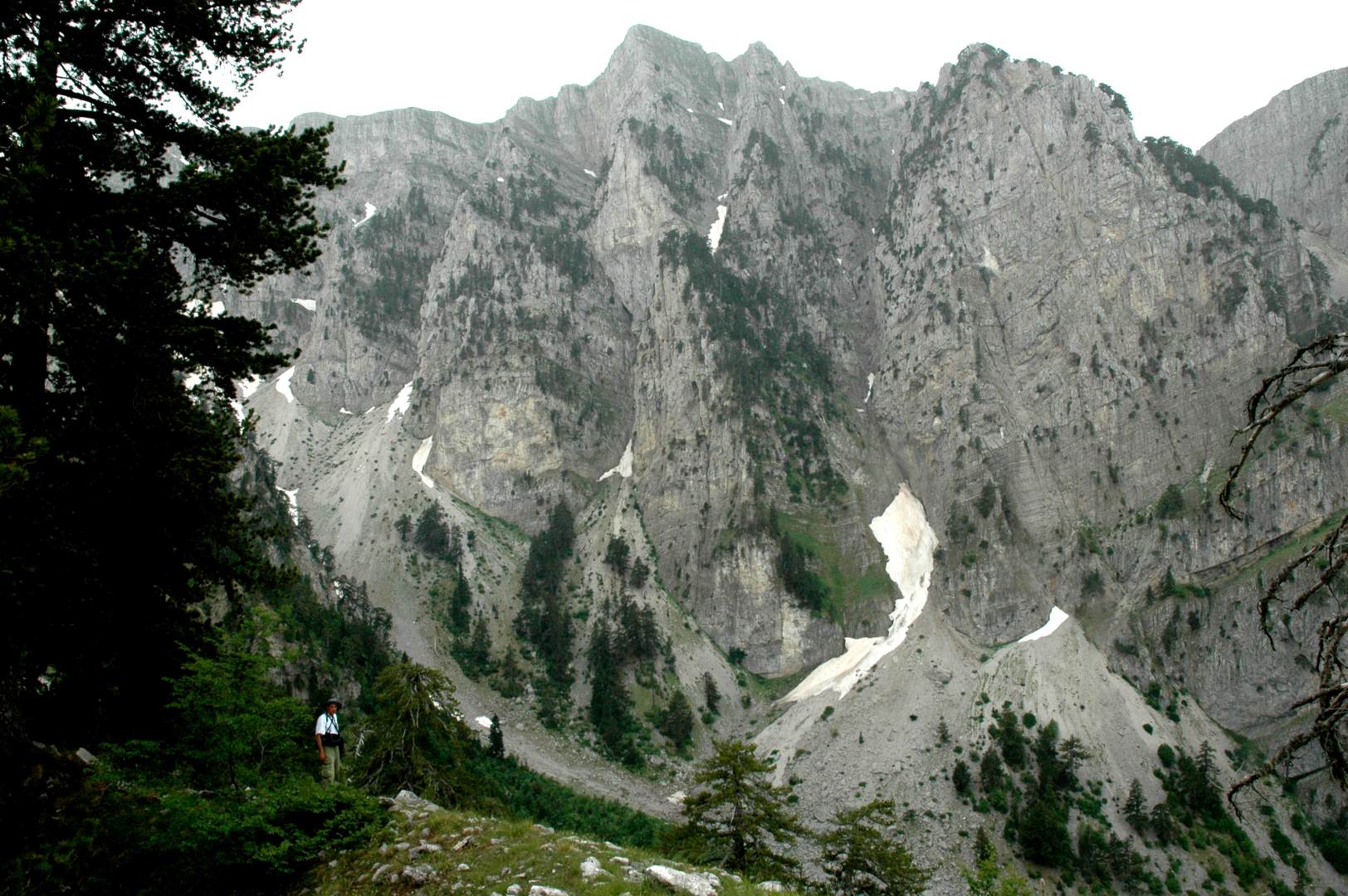
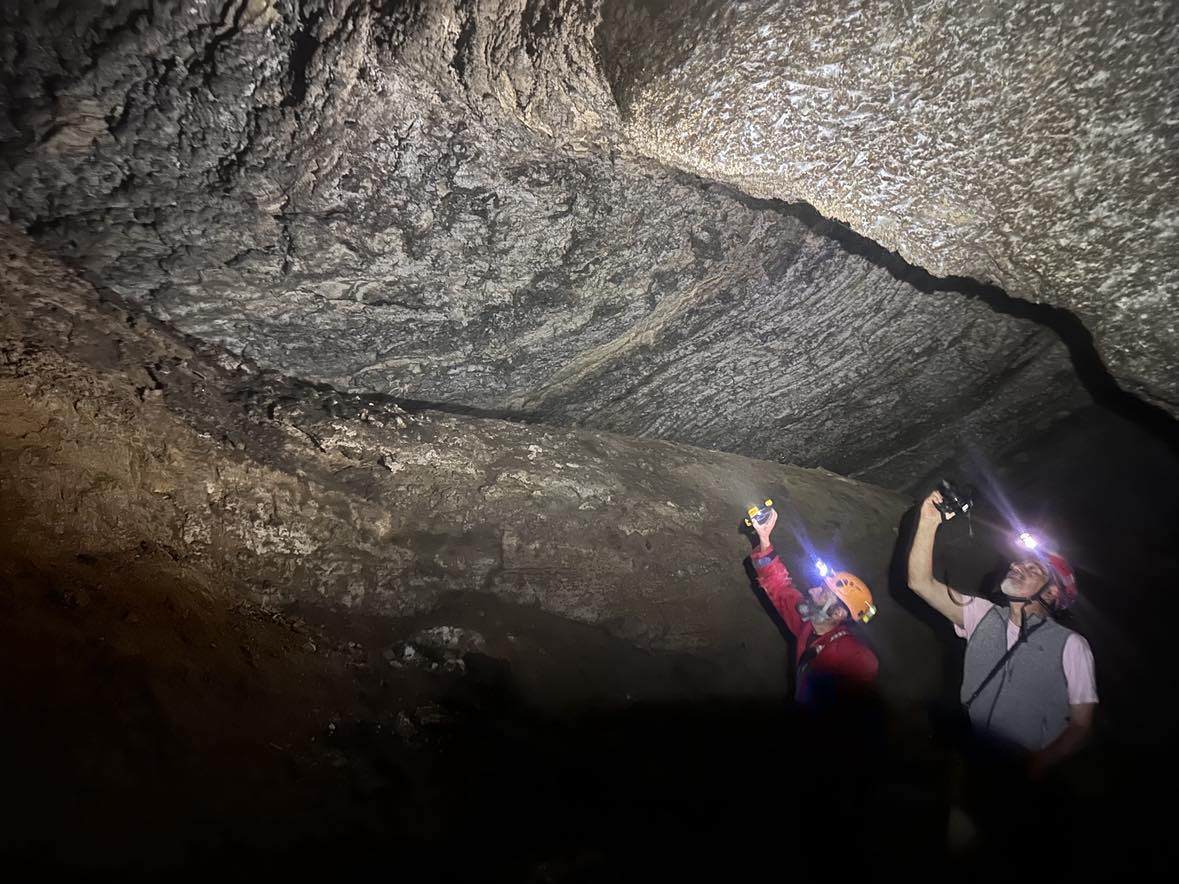


Sedimentary and igneous rocks make up the geological structure of the area. Sedimentary rocks, namely limestone, dolomite and flysch, are found in the Tymphí mountain range (2497 m), while igneous rocks, namely ophiolites, form the structure of Mount Smolikas (2637 m).
Between 201 and 66 million years ago, the Hellenic area was submerged under the Tethys Ocean, situated between two lithospheric plates, where limestone rocks were formed. Later, between 66 and 23 million years ago, the ocean began to recede due to the collision of the lithospheric plates, creating the first mountains of the Pindus mountain range.
From the opening of the Tethys Ocean, igneous rocks emerged that were formed 200 million years ago in the Earth's mantle at a depth of 100 kilometres. The compressional forces that followed caused these rocks to uplift and advance over the neighbouring sedimentary rocks. These are the rocks that today constitute the mountain range of Smolikas.
New sediment deposits in neighbouring seas, with materials originating from land, created rocks of the flysch group, such as sandstones and mudstones.
23 million years ago, the present-day rivers were formed, carving their paths through the rocks, dissolving them and forming gorges.
20 million years ago, due to strong compressive stresses prevalent in the Hellenic realm at the time, as a consequence of the collision between the African and Eurasian plates, the Pindus zone was thrust over Ionian. The sediments deform, creating folds and faults. Large faults are evident in the carbonate mass of Tymfi, among which the Astraka (Papigo) and Konitsa faults stand out, responsible for the
Hydrogeology
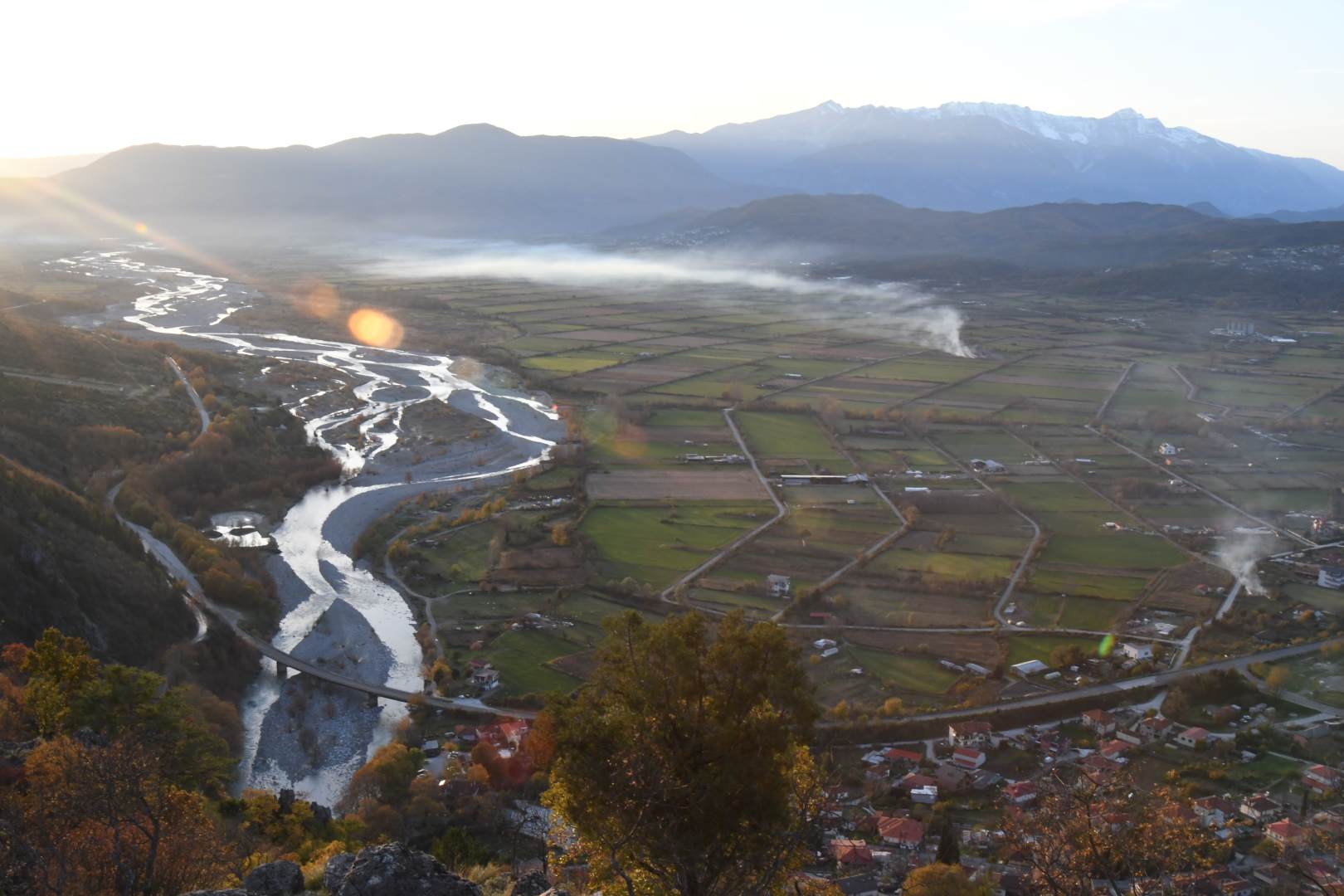
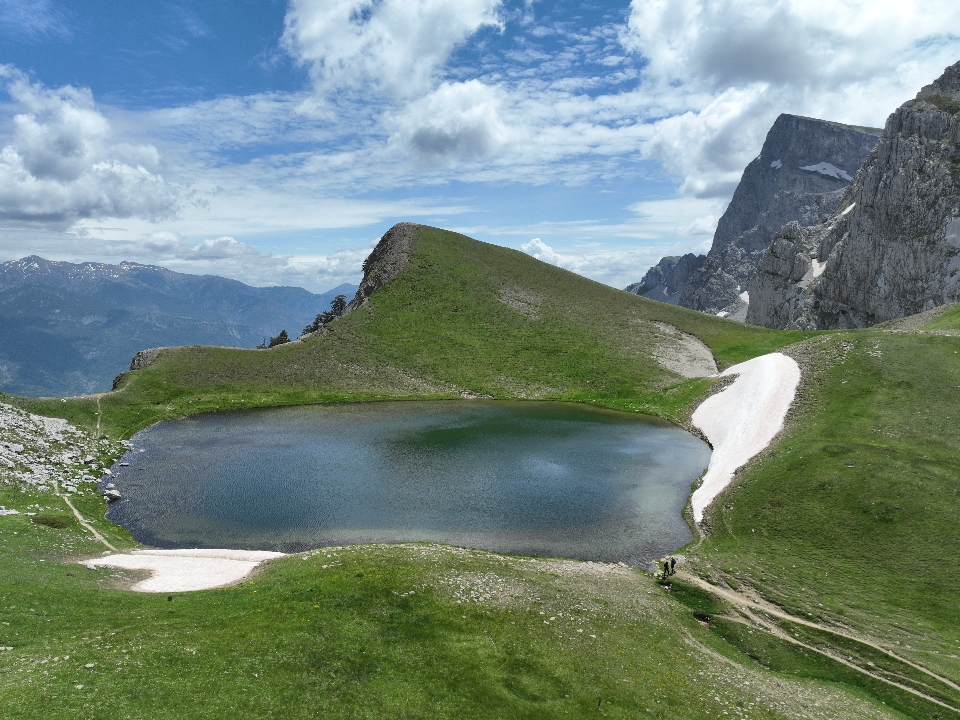

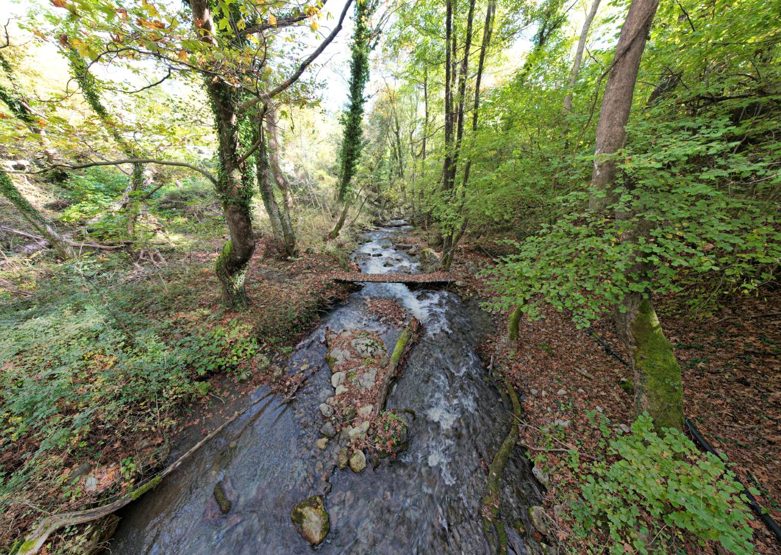
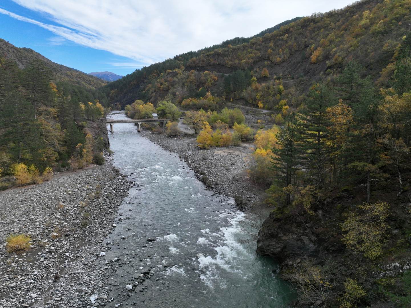


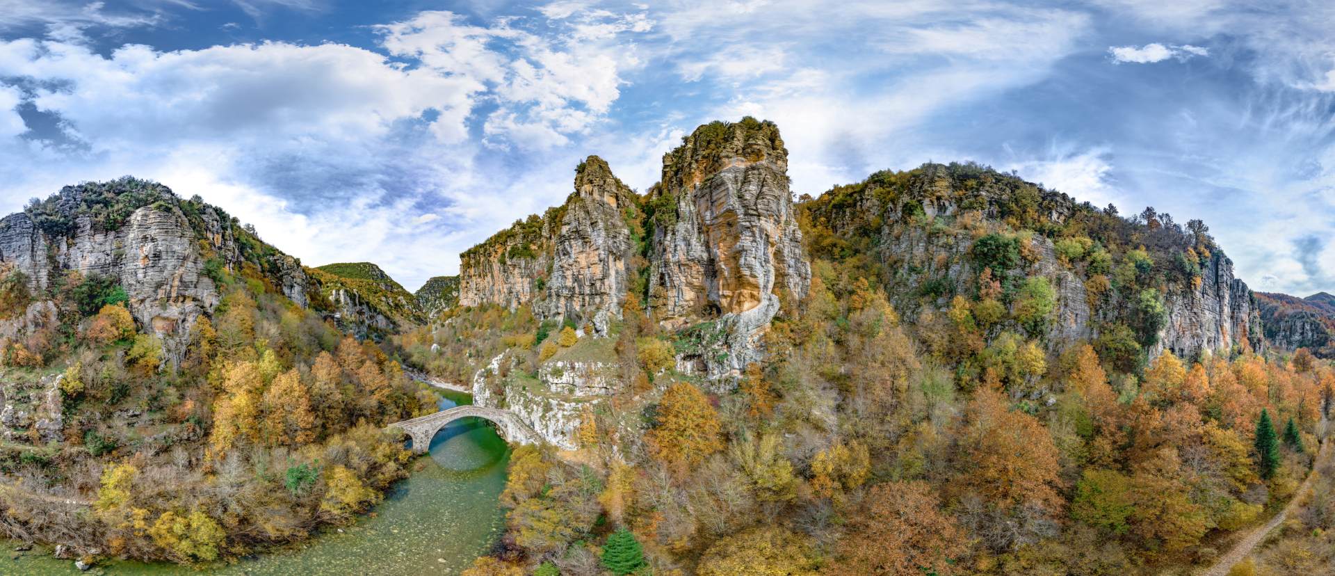

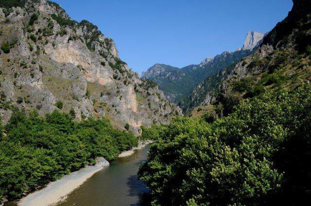
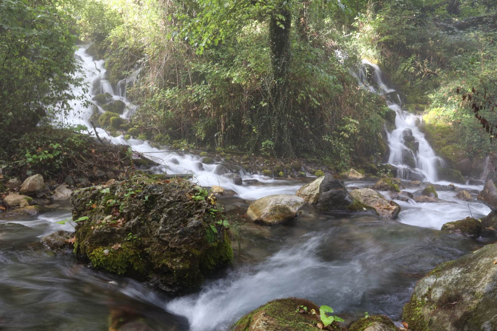
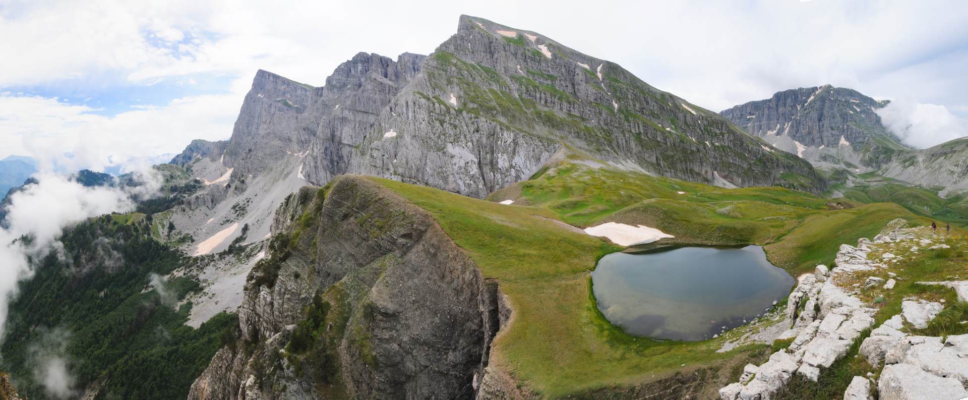


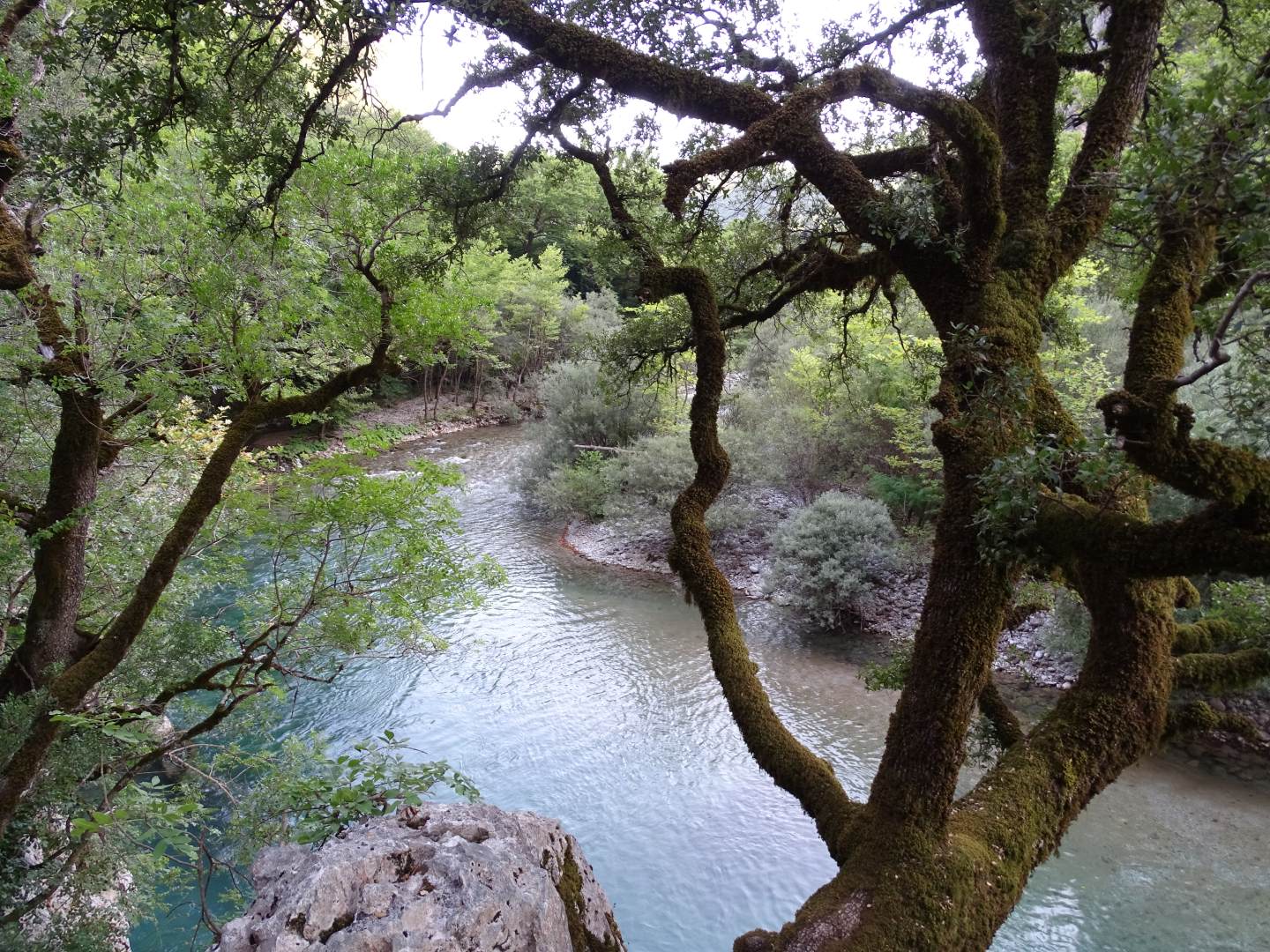

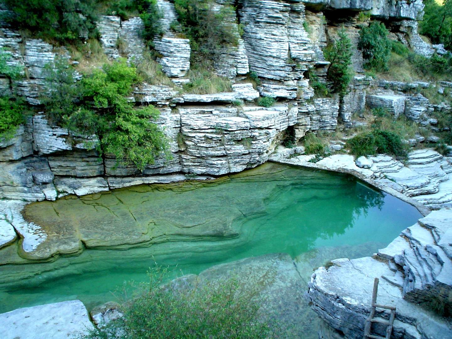


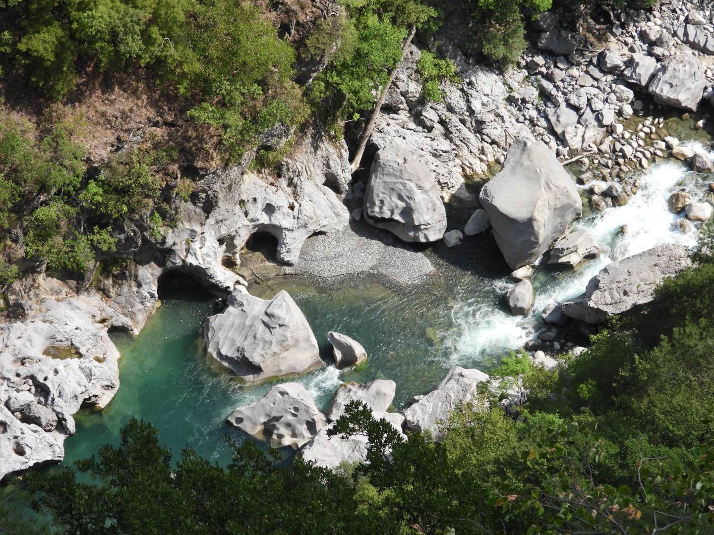
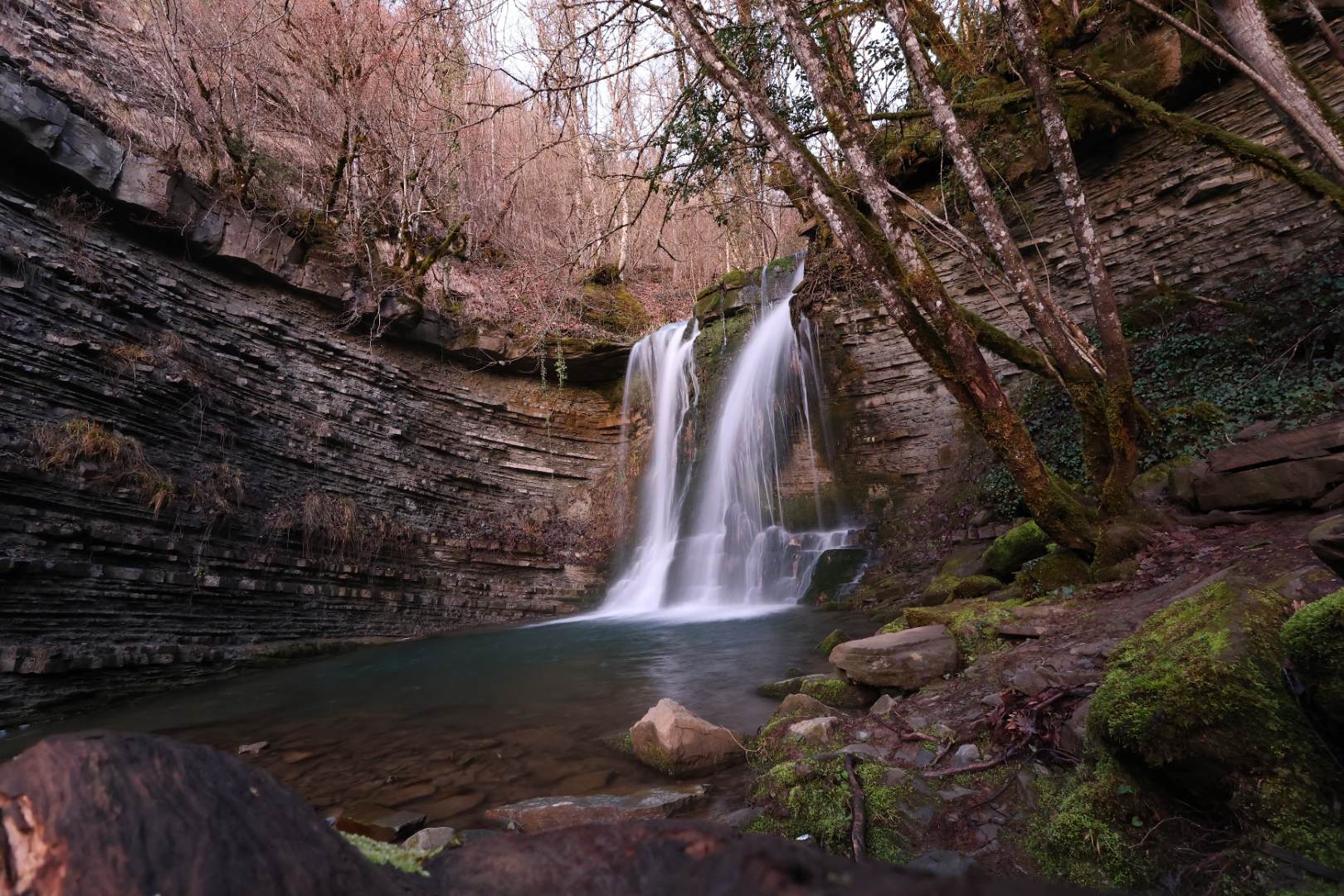
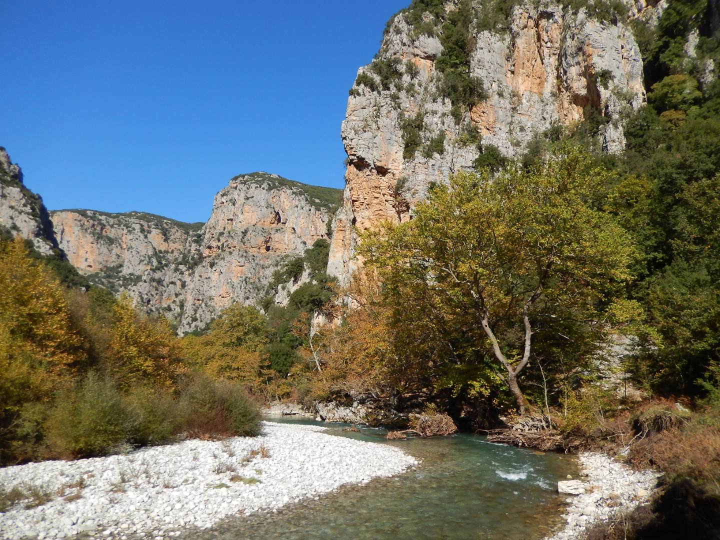
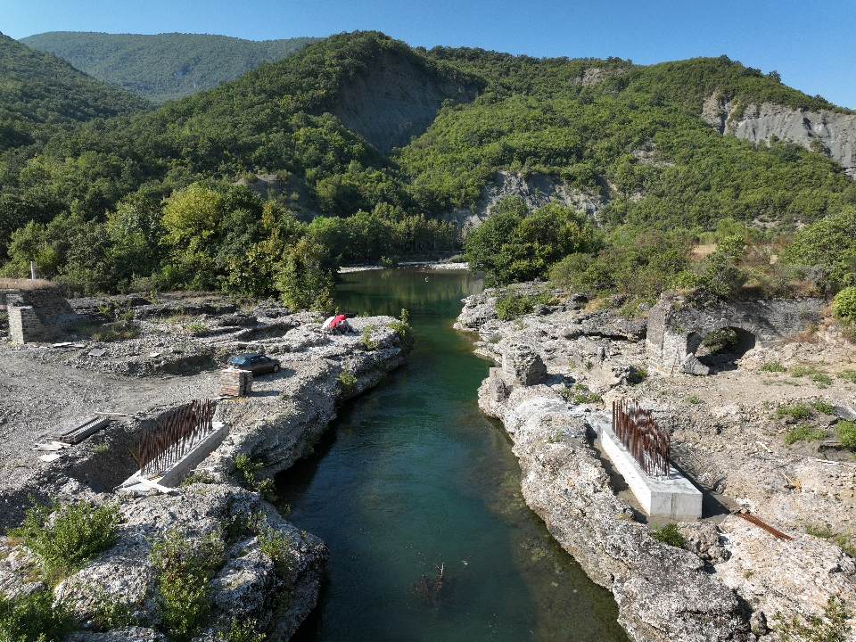

The Vikos-Aoos Geopark is characterised by the strong presence of water and several elements of its impressive morphological relief. The region's largest rivers, the Aoos and the Sarantaporos, drain the hydrological basins of the large mountains of the Tymfi, Smolikas and Grammos areas. The Aoos and the Voidomatis, with their tributaries, deeply carve the limestones, creating gorges of unique aesthetic.
The extensive basin of the Voidomatis river today reveals a high karst field, which was intermittently covered by glaciers during the Pleistocene. Thus, rainwater and snow, which will fall, for example, on Astraka, Vradeto, Tsepelovo and elsewhere, will feed the karst groundwater aquifer of the limestone mass of Tymfi. This is one of the highest elevation, most complex, and water-rich underground aquifer systems in the country. This system is, of course, the main and most interesting, but not the only, underground water system of the Vikos-Aoos Geopark. The interaction between underground and surface waters is continuous and complex.
Karstic landforms - Speleology


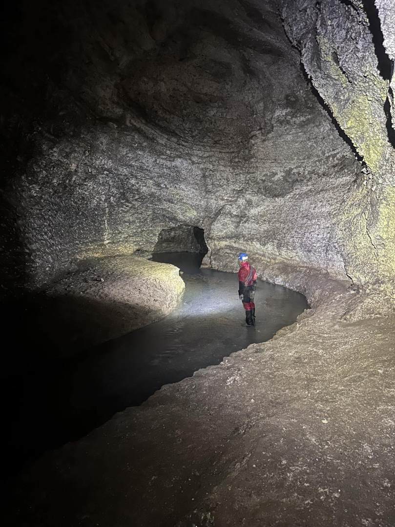
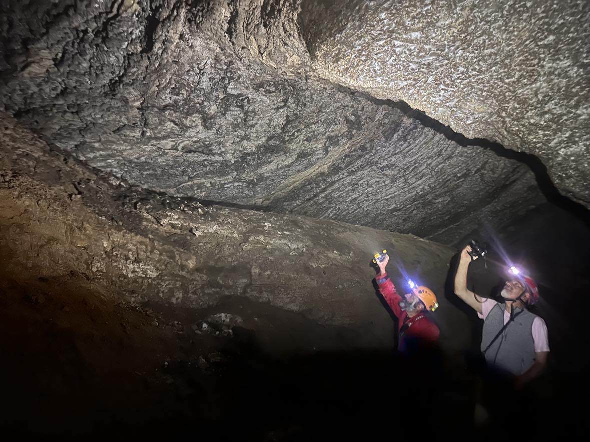
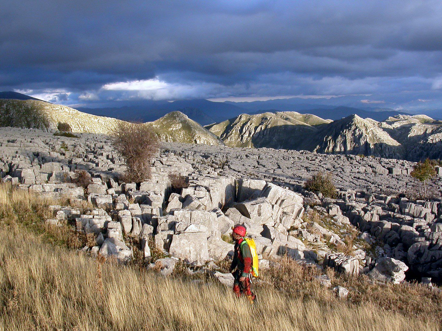

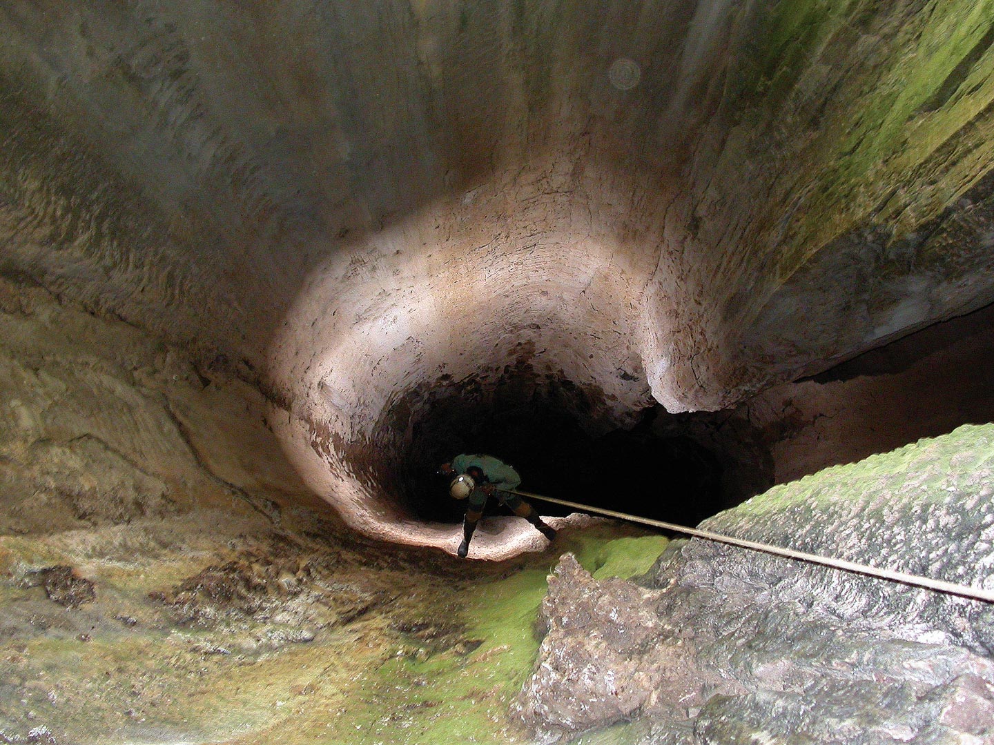
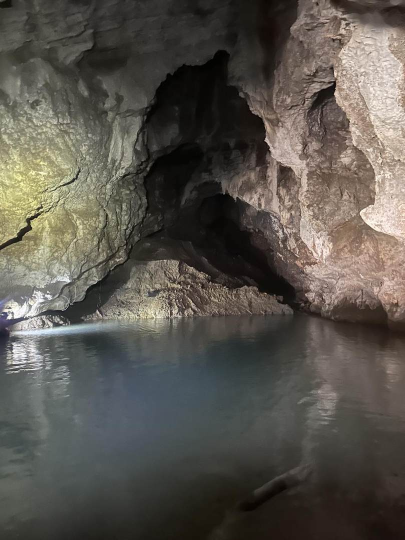
The term karstification refers to processes associated with the chemical weathering and erosion of rocks by water. These phenomena are most evident in limestone rocks, and as a result, surface and underground cavities of varied shape, size, and depth are created. The karst formations that are formed can be surface forms, such as solution flutes (i.e., grooves on the surface of rocks), canyons and dolines (i.e., relatively large cavities «sunken» into the ground), or underground, such as caves, sinkholes and swallow holes. Some surface and underground rivers and lakes, as well as springs, are the result of karst phenomena.
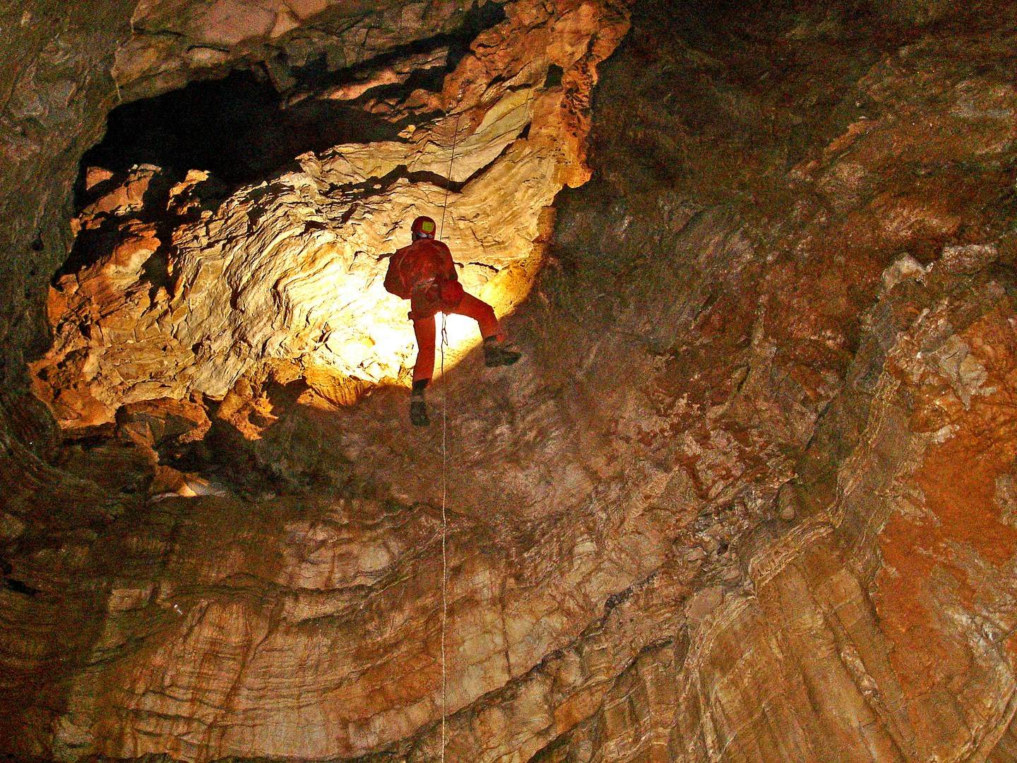
Caves can be either horizontal or vertical. In fact, most of those encountered are vertical, known as chasms, and require special equipment and knowledge to visit. To do this, one can contact one of the speleological associations in various regions of the country.
The Tymphae mountain range and the neighbouring Stouros are intensely karstified areas, and speleological explorations to date have revealed the existence of over 300 sinkholes that have been explored by scientists, as well as amateur speleologists. Characteristic of these is their great verticality with large, continuous shafts and their limited horizontal development in relation to their depth. Other particular characteristics are the absence of permanent water, such as waterfalls or underground rivers, while in only a few cases are there small pools at the bottom or dripping from melting snow or ice.
Geotopes

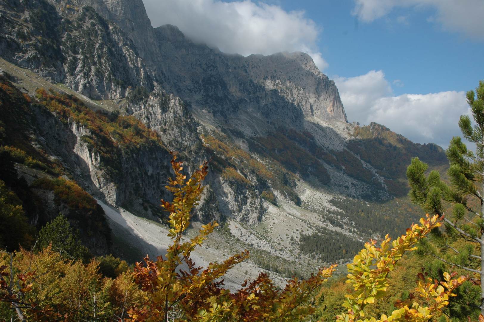
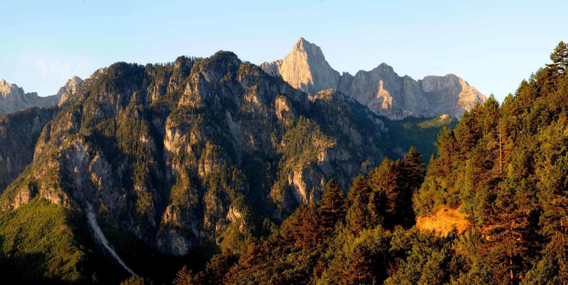
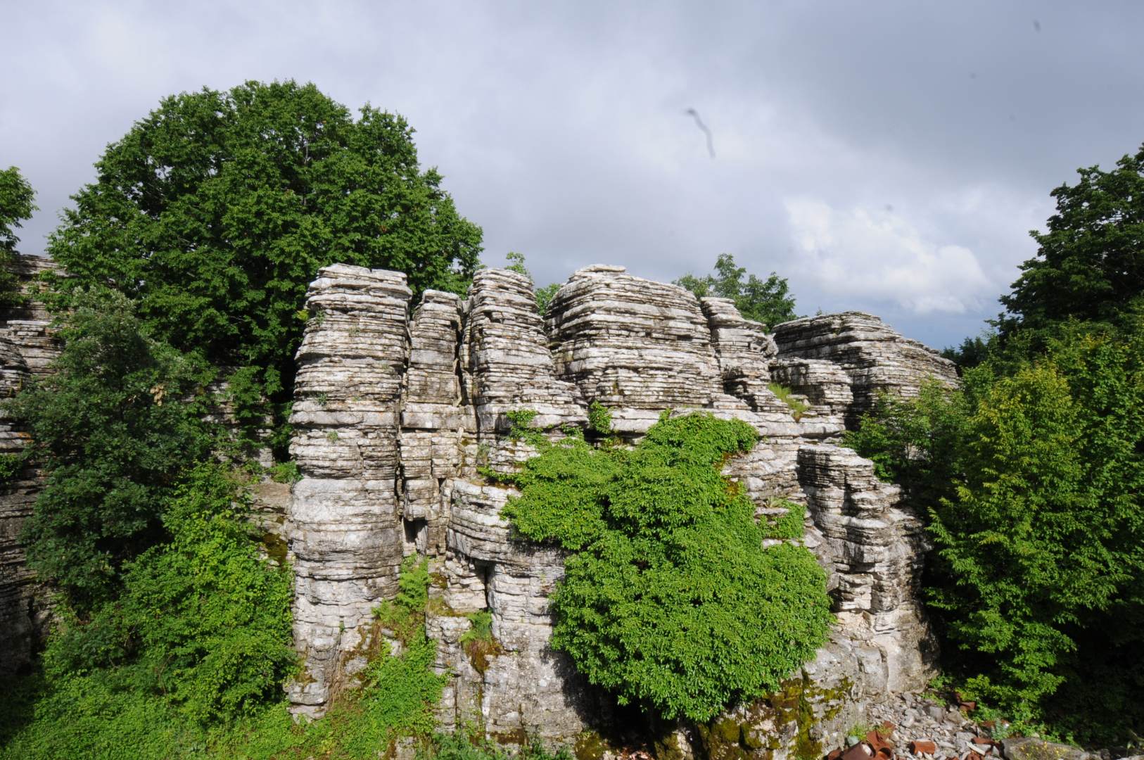
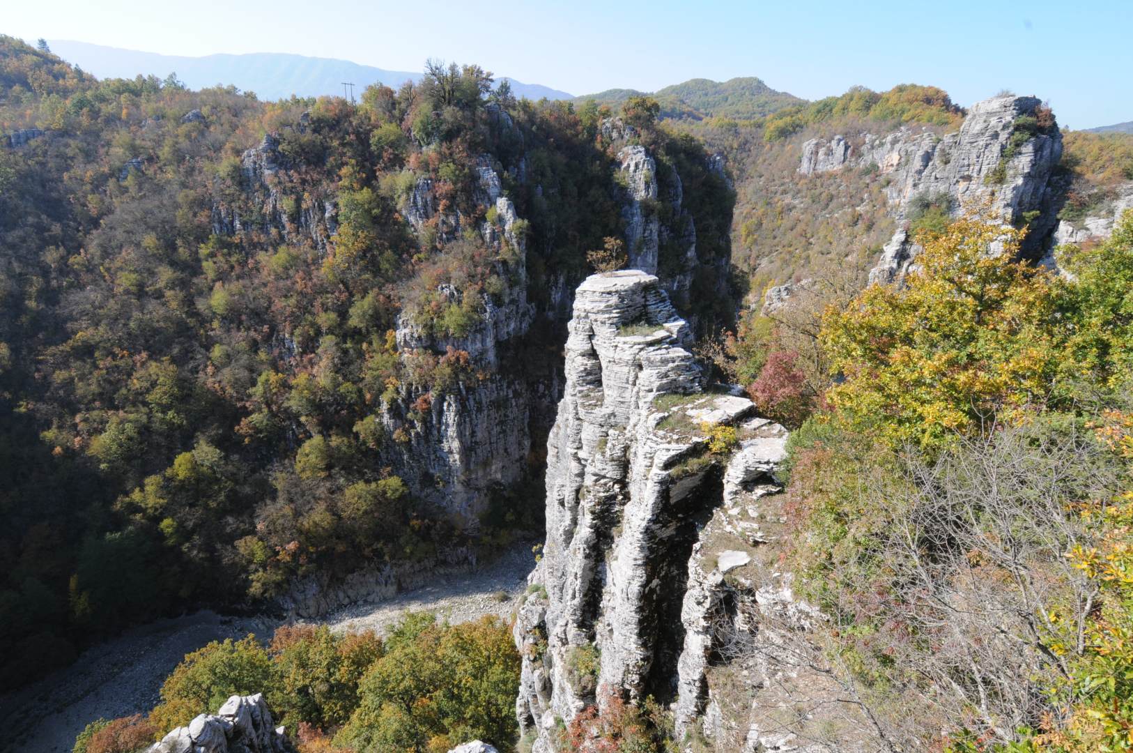

Geosites are self-contained geological locations that represent significant moments in Earth's geological history, are witnesses to its long evolution, and/or show natural processes that continue to evolve on the Earth's surface. They constitute parts of natural landscapes that help us understand their evolution and functioning. These elements and forms are distinguished by their scientific significance, rarity, aesthetics, and educational value. At the same time, however, they may have archaeological, ecological, or cultural interest.
The 51 geotopes of the Vikos-Aoos Geopark are representative of the geological history processes of the area. They are divided into seven categories:
- Sources, such as those of Voidomatis, the Kavassilon spas and the Amaranto thermal springs
- Tectonic structures (faults-folds), such as the faults of Konitsa and Kapesovo
- River terraces to the Aoos and Voidomatis
- Rock shelters in the Voidomatis Gorge
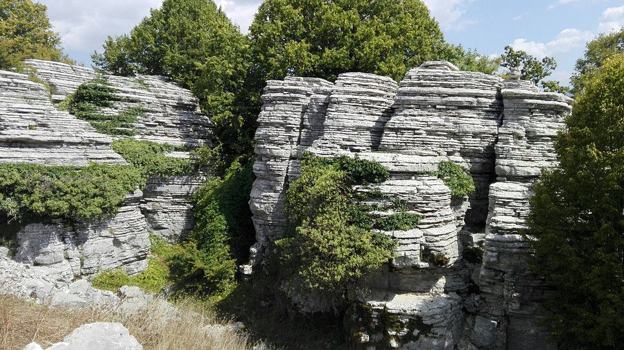
- Karstic landforms, such as the Astraka cave dolines and the Strou strou karst field, the Stone Forest and the Themtihta
- Glacial landforms, such as the Drakolimnes of Timfi and Smolikas, the plateau of Limnes, the moraines of Agia Paraskevi and the Lithones in Tsepelovo and Vrysochori-Iliokhório
- Panoramic views to the Vikos and Aoos gorges, Tymfi, Smolikas and elsewhere