The rocks that make up the geological structure in Epirus are sedimentary and mainly belong to the geotectonic unit of the Ionian Zone, while to the north and east, sediments of the Pindus Zone and igneous rocks are found.
The geological history of the wider Pindus region begins approximately 200 million years ago at the start of the Jurassic period with the formation of rocks of biochemical, organogenic origin. Then, in the Lower Jurassic, the creation of dolomites and limestones began, which continued, with minor variations in the sedimentation environment (depth, chemical processes, tectonics), until the Upper Eocene 35 million years ago.
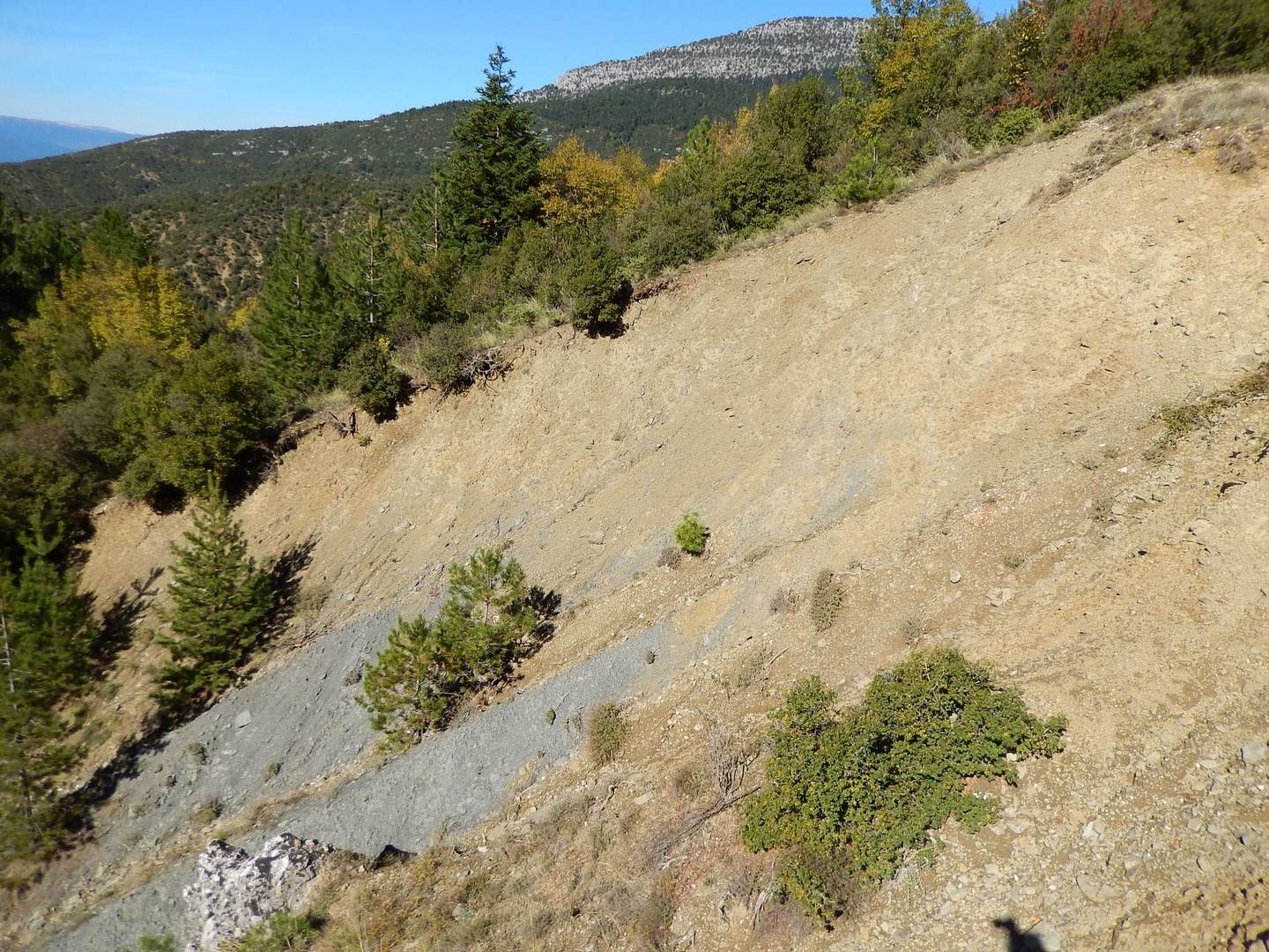
At the end of the Eocene, depositional conditions changed abruptly, and a new, different cycle of sediments began, termed clastic. This was a period of flysch formation through alternating layers of clays, siltstones, sandstones, and conglomerates. Following uplift of the area and the creation of mountains, new rocks were formed by the processes of erosion and weathering.
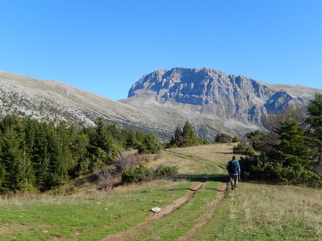
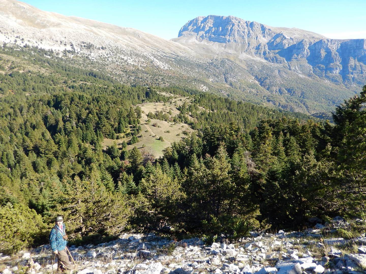
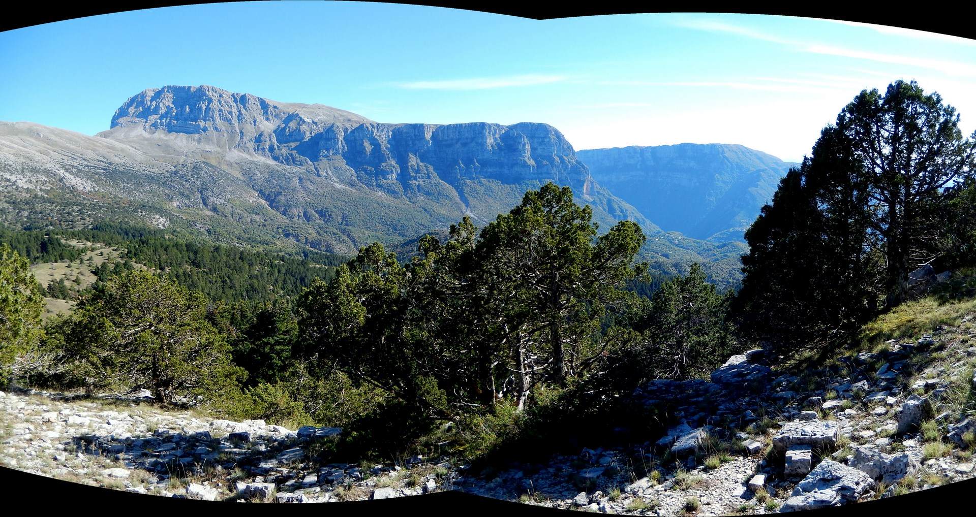
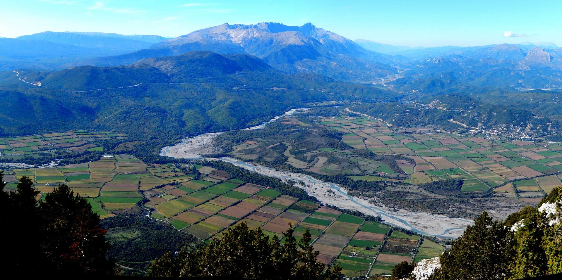
During the geological past, intense geodynamic processes took place and caused deformation of the rocks. Due to the continuous convergence of the lithospheric plates, the African plate beneath the Eurasian plate, sediments and igneous rocks called ophiolites are compressed and pushed towards the surface to subsequently form mountain ranges. During the Pleistocene (2 million – 10,000 years ago), the Tymfi region was intermittently covered by glaciers and alternating glacial and interglacial environments. The rapid uplifts combined with strong vertical erosion shaped two of the most beautiful and deepest gorges globally, traversed by the eponymous rivers Voidomatis (or Vikos) and Aoos.
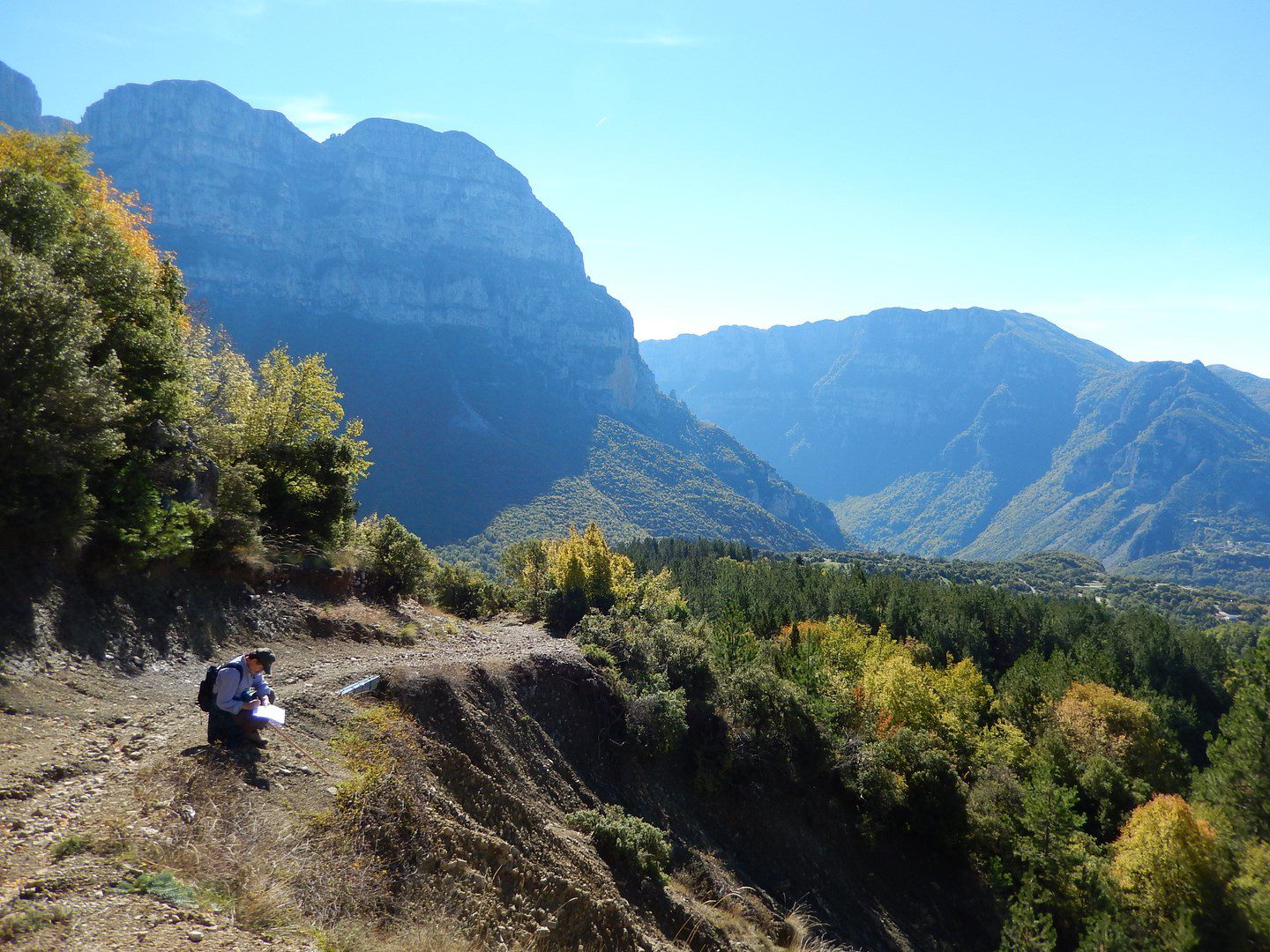
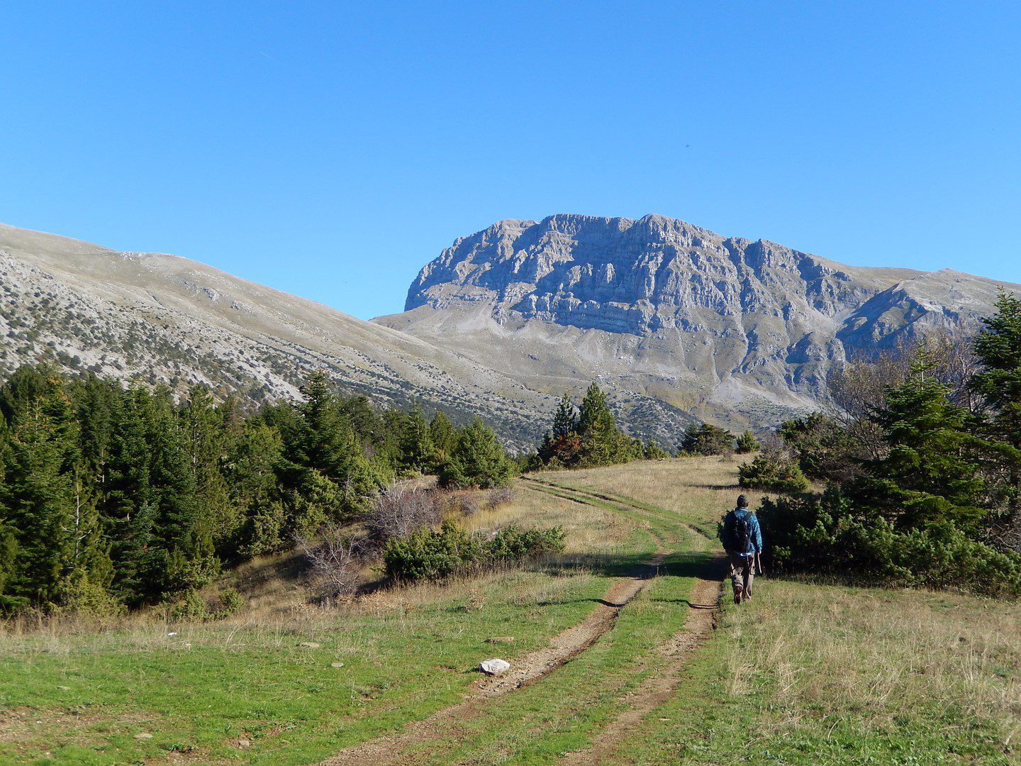
Following the geological thematic route, which starts from the village of Megalo Papingo and heads north to the summit of Koula (1560m), visitors will have the opportunity to learn many of the secrets hidden within the rocks and the wider geological landscape of the area.